Orr Island
| Orr Island | ||
|---|---|---|
| Waters | Sulzberger Ice Shelf | |
| Archipelago | Marshall Archipelago | |
| Geographical location | 77 ° 38 ′ 0 ″ S , 149 ° 36 ′ 0 ″ W | |
|
|
||
| length | 8 kilometers | |
| Residents | uninhabited | |
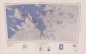
| Topographic map of the Marshall Archipelago with Orr Island (left) | ||
Orr Island is an 8 km long and icy island in the Marshall Archipelago off the Saunders coast of Marie Byrd Land in western Antarctica . In the Sulzberger Ice Shelf , it is 5 km southwest of Grinder Island .
The United States Geological Survey mapped them on the basis of their own surveys and aerial photographs of the United States Navy from 1959 to 1965. The Advisory Committee on Antarctic Names named them in 1970 after Lieutenant Commander Thomas E. Orr (* 1934), supply officer and head of a unit of VX-6 squadron rescue parachutists in Operation Deep Freeze in 1968.
Web links
- Orr Iceland in the Geographic Names Information System of the United States Geological Survey (English)
- Orr Island on geographic.org (English)

