Ostrykivka
| Ostrykivka | ||
| Остриківка | ||

|
|
|
| Basic data | ||
|---|---|---|
| Oblast : | Zaporizhia Oblast | |
| Rajon : | Tokmak district | |
| Height : | 68 m | |
| Area : | 3.293 km² | |
| Residents : | 995 (2001) | |
| Population density : | 302 inhabitants per km² | |
| Postcodes : | 71752 | |
| Area code : | +380 6178 | |
| Geographic location : | 47 ° 15 ' N , 35 ° 54' E | |
| KOATUU : | 2325283601 | |
| Administrative structure : | 7 villages | |
| Address: | вул. Жовтнева 78а 71752 с. Остриківка |
|
| Statistical information | ||
|
|
||
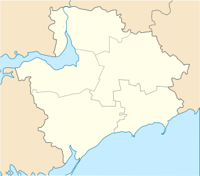
Ostrykiwka ( Ukrainian Остриківка ; Russian Остриковка Ostrikowka ) is a village in the center of the Ukrainian Oblast of Zaporizhia with about 1000 inhabitants (2001).
The village was founded in 1842 is located in Rajon Tokmak on the territorial road T-08-13 , 15 km east from Rajonzentrum Tokmak and 110 km southeast of the Oblastzentrum Zaporizhia . Ostrykivka is located on the bank of the Tokmak ( Токмак ), the largest tributary of the Molochna .
To 9 km² District Municipality is the administrative center Ostrykiwka belong nor the villages Iwaniwka ( Іванівка ) Luhiwka ( Лугівка ) Snihurivka ( Снігурівка ) Trudowe ( Трудове ) Uroschaine ( Урожайне ) and Fabrytschne ( Фабричне ).
Web links
- Location information (Ukrainian)
Individual evidence
- ^ Website of the village , accessed on January 26, 2016

