
Peiwar pass
| Peiwar pass | |||
|---|---|---|---|
 The Battle of the Peiwar Pass |
|||
| Compass direction | west | east | |
| Pass height | 2596 m | ||
| region | province of Paktia | Kurram Agency in the Federally Administered Tribal Areas ( Pakistan ) | |
| Watershed | Kurram | ||
| Valley locations | Gardez | Parachinar | |
| map | |||
|
|||
| Coordinates | 33 ° 58 '9 " N , 69 ° 52' 21" E | ||

The Peiwar Pass , also known as the Peiwar Kotal Pass , is one of the few navigable passes that connect Pakistan and Afghanistan .
Pass road course
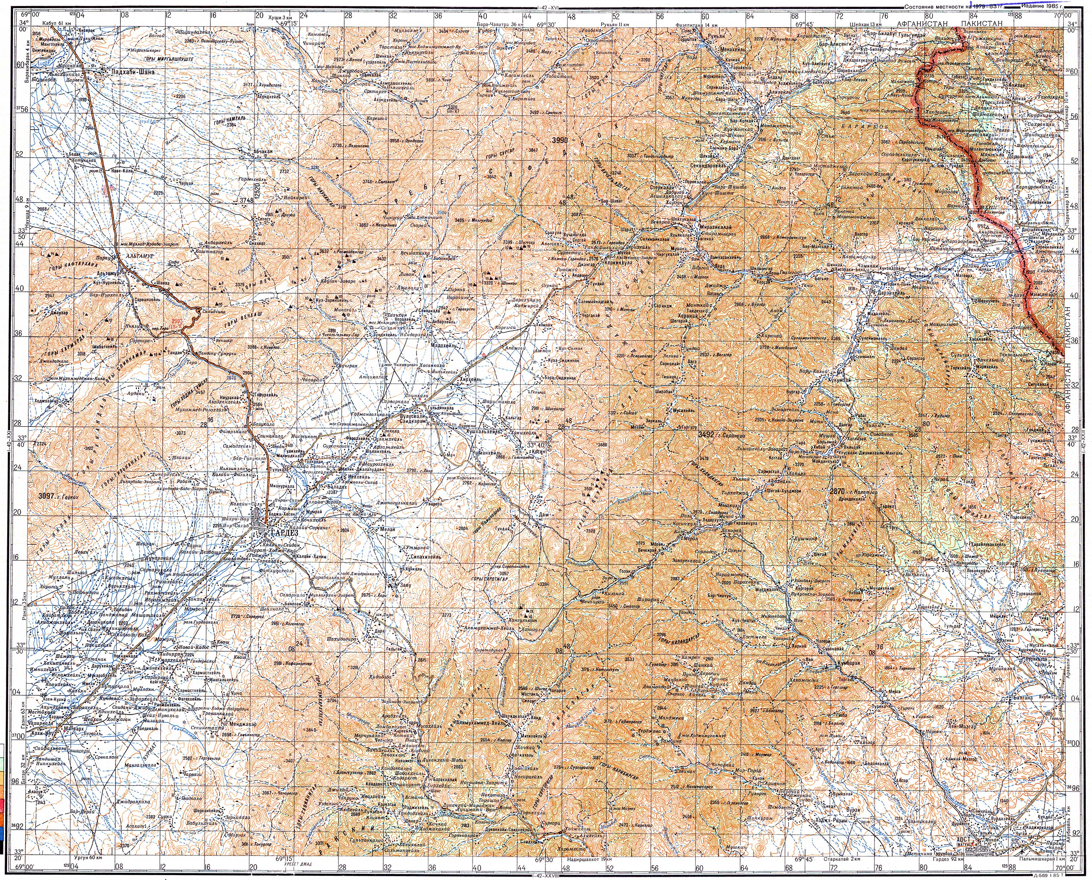
The mountain road overcomes the Peiwar Pass, which has a top height of 2596 m . The top of the pass is about 20 km west of Parachinar . The pass is closed for several months in winter due to snowfall and icing.
history
One of the main trade routes to Kabul and Gardez in Afghanistan used to run through the Kurram Valley .
During the Second Afghan War in 1878, the Gurkhas and Highlanders of the Kurram Valley Force of British Field Marshal Frederick Roberts stormed the Peiwar Pass, defeated the Afghan forces and brought the pass under British control. A year later, the British then used the route over the Peiwar Pass and the Shotor-Gardan Pass for their attack on Kabul.
The pass road is the route to Gardez in the Afghan province of Paktia . Kabul can be reached from Gardez via the Khost-Gardez-Pass and Khost . This is the shortest route from Kabul to Pakistan.