
Perim
| Perim (Barīm) | ||
|---|---|---|
 |
||
| Waters | Bab al-Mandab | |
| Geographical location | 12 ° 39 '24 " N , 43 ° 24' 54" E | |
|
||
| length | 5.63 km | |
| width | 2.85 km | |
| surface | 13 km² | |
| Highest elevation | 65 m | |
| Residents | 221 (December 16, 2004) 17 inhabitants / km² |
|
| main place | Mayyun | |
 |
||

Perim ( Arabic بريم Barīm ) is a volcanic island with no fresh water sources in the Bab al-Mandab Strait at the southern entrance to the Red Sea off the southwest coast of Yemen . The island is 13 km² and up to 65 m high. The volcano has blocked the Bab al-Mandab several times in its geological prehistory, thus cutting offthe Red Sea from the Indian Ocean . In the west of a peninsula of Yemen protruding from the foreshore, the island continues a natural bottleneck towards Africa ,20.3 km away, and thus shortens the distance between the Arabian peninsula and Africa ( Ras Siyan ). Exactly to the south of it, about 20 km away, are the Sawabi Islands (German: about the Seven Brothers ) off the coast of Djibouti . This stretch of sea is called Dact-el-Mayun and reaches a depth of up to 310 m.
The island in a strategically important location has a natural harbor on its southwest side, but the lack of fresh water has always been an obstacle to permanent settlement. In the north there is an airfield (air code VOR). The vegetation on the island is sparse.
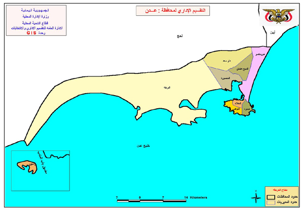
The island was visited by Portuguese in 1513, but they were soon expelled from the region by their Ottoman opponents. France occupied the island in 1738. In 1799 the British East India Company took possession of it briefly to support the planned invasion of Egypt . In 1857 it was finally annexed by England and incorporated into the colony of Aden , and a lighthouse was built on it . From 1869 to 1936, the island served as a coal station for ships using the Suez Canal . After this time, the island's population decreased. During the First World War , Turkish troops tried unsuccessfully to conquer the island in 1916. British rule over the island ended on November 30, 1967 with the independence of the People's Republic of Yemen . The island now belongs to the Yemeni governorate of Aden and there to the district of al-Muʿalla , but lies relatively far west of the main part of this governorate (80 kilometers) or district (170 kilometers).
There are currently plans to build a 28 km long bridge near or directly over the island that will connect Africa / Djibouti with Asia / Yemen .
literature
- The Times , London, 1799, 1857, 1858, 1963
Web links
Individual evidence
- ↑ Administrative division map of the Adan Governorate ( Memento of the original from August 26, 2014 in the Internet Archive ) Info: The archive link has been inserted automatically and has not yet been checked. Please check the original and archive link according to the instructions and then remove this notice.
- ↑ Article at Spiegel online (from May 2, 2008)
- ↑ Article at Spiegel online (from August 13, 2008)