Petergensfeld
| Petergensfeld | ||
|---|---|---|
|
|
||
| State : |
|
|
| Region : | Wallonia | |
| Province : | Liege | |
| District : | Verviers | |
| Coordinates : | 50 ° 39 ′ N , 6 ° 11 ′ E | |
| Height: | 410 m | |
| Post Code: | 4730 | |
| Prefix: | 087 | |
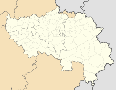
Petergensfeld is a district of the Belgian municipality of Raeren in the German-speaking community . The place is located directly on the German-Belgian border and represents the western continuation of the German village Roetgen .
Petergensfeld is located around 18 kilometers southeast of Aachen on the northeastern edge of the High Fens on the river Weser . The Raeren-Petergensfeld transmitter is located at the western exit of the town .
The border has cut the naturally grown place Petergensfeld / Roetgen since 1555. Since Petergensfeld was added to the Spanish Netherlands at that time , the population of Roetgen called this part of the village from then on "the Spanish". A street name in Petergensfeld is still officially called "Spanish" today.
The former Vennbahn station in Roetgen is located in the Petersgenfeld area and belongs to the municipality of Raeren.
Regional language
In addition to the standard German taught at school and used in the community, the traditional regional "Platt" is a Ripuarian dialect.
Individual evidence
- ↑ Frank Kuck: Small chronicle of the regional historical events around Bank Walhorn from 888 - 1920 , accessed on February 4, 2014

