Peak Druzhba
| Peak Druzhba | ||
|---|---|---|
| height | 6800 m | |
| location | Circle wensu county in the administrative district of Aksu in Xinjiang ( China ) | |
| Mountains | Meridional chain ( Tian Shan ) | |
| Dominance | 7 km → Rapassov Peak | |
| Notch height | 680 m ↓ ( 6120 m ) | |
| Coordinates | 42 ° 7 ′ 20 ″ N , 80 ° 16 ′ 2 ″ E | |
|
|
||
| First ascent | 1953, A. Nozdrjukhin | |
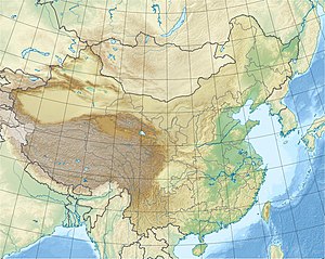
The Pik Druzhba ( Russian Пик Дружба , "Friendship Summit "; also Pik Druzhby ; Anglicized: Druzhby Peak or Druzhba Peak ) is a mountain in the Chinese part of the Tian Shan not far from the border with Kyrgyzstan .
location
The 6800 m high Pik Druzhba lies in the meridional chain ( Meridianal'Nyj ). To the south the ridge leads to Pik Rapassow , to the north to Pik Thorez .
The Dschengisch Tschokusu ( Pik Pobeda ) rises 15 km southwest. The Khan Tengri is 12.5 km to the northwest.
The upper end of the southern Engiltschek glacier runs west of the Druzhba peak. Its tributary glaciers , the Druzhba and Nagel glaciers , are located on the north-west and south-west flanks of the mountain. The glaciated north-east and south-east flanks are drained to the east via the Tugbelchi glacier .
Before the border dispute was settled in 1999, Pik Druzhba was on the Sino-Kyrgyz border.
Minor peaks
The 6527 m high Pogrebetzki ( ⊙ ) rises 2.15 km west of Druzhba Peak . The mountain has a notch height of 287 m and was named after the Ukrainian mountaineer Michail Timofejewitsch Pogrebetzki .
1.85 km south of Pik Druzhba, on the ridge of Pik Rapassow, rises the 6565 m high secondary peak Pik Nagel (or Nagela , ⊙ ). The notch height is 185 m.
Ascent history
Pik Druzhba was first climbed in 1953.
Web links
- Druzhby, China / Kyrgyzstan on Peakbagger.com (English)
- Pogrebetzkovo, Kyrgyzstan on Peakbagger.com (English)
- Nagela, China / Kyrgyzstan on Peakbagger.com (English)
cards
- Sheet 0/15 Khan Tengri - Tien Shan, Kyrgyzstan , Alpine Club Map 1: 100,000
Individual evidence
- ↑ Yevgeniy Gippenreiter, Vladimir Shataev: Six and Seventhousanders of the Tien Shan and the Pamirs (PDF 4.6 MB) Alpine Journal, 1996, 122-130.
