
German Unity Square (Wiesbaden)


The Platz der Deutschen Einheit , formerly Boseplatz , is located in Wiesbaden-Westend at the intersection between Schwalbacher Straße and Bleichstraße. Until the end of 2010 it was mainly used by local public transport . A sports hall with a residential and commercial building has been located here on Schwalbacher Strasse since 2014. As a result, the now traffic-free area is located in the west and south of the sports hall. The square is bordered by the Wiesbaden high school Elly-Heuss-Schule in the south, the police station in the west and Bleichstrasse in the north, at the eastern end of which is Faulbrunnenplatz. The foul fountain, which was initially leveled and then exposed again in 2017, is the only cold (14 ° C) spring of healing water in Wiesbaden.
Naming
Originally the place was called Boseplatz , after the Prussian general Julius Graf von Bose . As a result of the popular uprising in the GDR on June 17, 1953 , it was renamed Platz der Deutschen Einheit in June 1958 , in the general hope that there would once again be a total of Germany made up of the Federal Republic and the GDR.
The area between the police station and the new sports hall is also called the quarter square, the unfinished area between the Elly Heuss school and the sports hall is called the town square.
Use and environment

From 1816 to 1819, the Ducal Nassau infantry barracks, which had been designed by the Nassau building inspector and later state master builder Carl Florian Goetz , were built on the previously undeveloped site west of Schwalbacher Strasse . The symmetrical building lay with its central axis on the line of Friedrichstrasse and thus formed its conclusion. In later years, the barracks area was supplemented by further buildings, which extended south to Dotzheimer Strasse, to the west slightly above the height of Helenenstrasse and was bordered to the north by Bleichstrasse.
Line 7 of the Wiesbaden tram was opened in 1906 and ran to Dotzheimer Bahnhof . In 1910 the route was extended to Bierstadt and a depot was built next to the neighboring foul fountain . After the main building of the former infantry barracks was demolished in 1911, Lyceum II (today: Elly-Heuss-Schule ) was built on the southern part of the vacated area . The area in front of it was named "Boseplatz". In the 1920s, a large sports and playground was built in a new loop on line 7.
In March 1945 tram traffic came to a standstill, and the wagon hall could no longer be used due to bomb damage. Operations only resumed in May 1948. In December, Stadtwerke Wiesbaden opened the city's first trolleybus line on the western branch of line 7 in the direction of Dotzheim . Since the 1950s, the area has been used as a parking lot for many years. After long debates, "a modern petrol station adapted to the cityscape" was built along Schwalbacher Strasse.
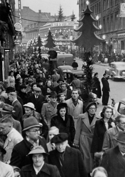
The so-called “Red Building” remained of the barracks on Bleichstrasse until the 1960s, in which a people's kitchen for school meals was set up in the post-war period . Because of the planned new construction of the Horten department store at the Kirchgasse - Friedrichstraße intersection, the Köster department store, which is located there and belongs to the department store chain, received a flat, temporary replacement building on this part of the square, which later served as a youth traffic school and was only closed in March 2011.
The planning of a pedestrian zone in Wiesbaden city center required a new concept for the routing of the public transport system . On opposite one-way streets, the parallel Dotzheimer- / Luisenstraße and Friedrich- / Bleichstraße, a large part of the bus routes were bundled in 1969 and continuous bus lanes were set up along their entire length . The square was thus given the function of a central bus stop, since in this system it was located on the main axis leading to the west, which crossed the lines of Schwalbacher Straße here. The “Platz der Deutschen Einheit” bus stop was given a flat roof structure that was suspended from two pylons . There were operating rooms for ESWE Verkehr , a kiosk, a fixed snack bar and public toilets, as well as the premises of the youth traffic school , which used the flat roof of the temporary department store as a practice area. Terminal stops with waiting positions have been set up in the area of Helenenstrasse and Bleichstrasse. As part of Wiesbaden's overall urban planning, Schwalbacher Strasse was generously expanded in both directions for road traffic. Since the shopping streets were in the opposite pedestrian zone, access to the central bus stop system was implemented through a pedestrian underpass, which was independent of traffic.
Redesign and construction of the sports hall
According to the plans passed by the city parliament in November 2010, a three-field school sports hall was built on the square, which also allows ball games for league operations. In preparation for the construction work, the various bus stopping positions were first relocated from the center of the square to Schwalbacher Strasse and Bleichstrasse in December 2010. The parking lot was abandoned, the underpass closed and finally the buildings demolished. The new building complex, which also includes several shops and a commercial building on Schwalbacher Strasse, was opened on July 5, 2014. As planned, the hall will be used by the Elly Heuss School as a school sports hall and as the new home of the Wiesbaden volleyball club (VCW) .
Quartersplatz
A traffic-free space has been created between the police station on Bertramstrasse and the sports hall, the design of which was completed in autumn 2015. The Kesselbach flows in a flood channel below the square. This has a "bypass" so that part of the water can come to the surface in the summer half-year and after 75 meters in the south-east, as before, is directed underground towards Salzbach.
Most of the area between the sports hall and the Elly Heuss School, designated as the “town square” in the planning, has not yet been designed. So far, only a narrow strip has been built along the sports hall, which also ends in a staircase. Cyclists from the bicycle road reclassified Bertramstraße come along must use the former sidewalk along the teacher parking lot of the school. Between the two there is a narrow strip that was planted by residents in September 2016 as part of the Kultage.
Individual evidence
- ↑ Wiesbaden: Heilquelle should come to light. In: Frankfurter Rundschau Online. May 6, 2016, accessed December 21, 2017 .
- ↑ Foul well. Mattiaqua - Own operation of the city of Wiesbaden for sources, pools, leisure, accessed on December 21, 2017 .
- ↑ A dirt road is growing up - Schwalbacher Strasse only began to develop in 1817. (No longer available online.) In: Rhein Main Presse . December 16, 2008, formerly in the original ; accessed on December 21, 2017 . ( Page no longer available , search in web archives )
- ↑ Place of German Unity | State capital Wiesbaden. In: www.wiesbaden.de. Retrieved July 16, 2016 .
Web links
- Photos of the Platz der Deutschen Einheit and its surroundings on "wiesbaden-fotos.de":
- Preparations for the reconstruction of the square (2011)
- Kirchgasse with the Köster department store
- Photos from Boseplatz on "Drehscheibe-foren.de":
- The "Red Building" seen from the Elly Heuss School
- The depot of the former tram line 7, used as a storage area for the trolleybus cars on line 7
- The depot of the former tram line 7 (in the background)
- A trolleybus of line 7, behind it the Esso petrol station on Boseplatz
Coordinates: 50 ° 4 ′ 48.5 ″ N , 8 ° 14 ′ 7 ″ E