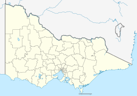
Port Campbell
Port Campbell is a coastal city in southwest Victoria , Australia , 285 kilometers from Melbourne . The place is on the touristically important Great Ocean Road west of the Twelve Apostles between Warrnambool and Lavers Hill . In 2016, Port Campbell had a population of 267 people.
history The city was settled in the 1870s, and the first port built in 1880. The Port Campbell Post Office opened on March 19, 1874 and was renamed Port Campbell West in 1881 as a new Port Campbell Office opened near the port.
tourism The place is important to the tourists visiting the Twelve Apostles and Port Campbell National Park . Other nearby natural attractions that are popular with visitors include London Bridge , Loch Ard Gorge and The Gibson Steps .
Port Campbell has restaurants and cafes overlooking the beach, as well as bakeries, shops, galleries and places to stay.
Web links Individual evidence
↑ a b Australian Bureau of Statistics : Port Campbell (L) English ) In: 2016 Census QuickStats . June 27, 2017. Retrieved April 19, 2020.
↑ premierpostal.com : Port Campbell , in English, accessed 26 February 2012
↑ travelvictoria.com.au : Port Campbell , in English, accessed February 26, 2012
<img src="https://de.wikipedia.org//de.wikipedia.org/wiki/Special:CentralAutoLogin/start?type=1x1" alt="" title="" width="1" height="1" style="border: none; position: absolute;">

