Provo Canyon
| Provo Canyon | ||
|---|---|---|
|
The Provo Canyon in autumn 2006 |
||
| location | Utah County and Wasatch County , Utah, USA | |
| Waters | Provo River | |
| Mountains | Wasatch chain | |
| Geographical location | 40 ° 20 ′ N , 111 ° 38 ′ W | |
|
|
||
| Type | Canyon | |
| length | 26 km | |
| use | US Route 189 , Tourism | |
| particularities | Museum train | |
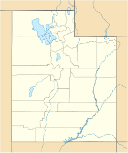
Provo Canyon is a canyon near Provo in Utah Counties and Wasatch Counties , 65 km southeast of Salt Lake City in the US state of Utah . It was formed over thousands of years by the erosion of the Provo River and divides northern Mount Timpanogos from Mount Cascade in the south of the canyon. To the west it extends from Orem to the west end of Heber City in the east. US Route 189 and the Hebertal Museum Railway (“ Heber Valley Historic Railroad ”) run through the 26 km long canyon for tourists. Sights include Vivian Park and Bridal Veil Falls .
Web links
Commons : Provo Canyon - Collection of images, videos and audio files
Individual evidence
- ↑ Wrinn, Jim (Ed.): Tourist Trains Guidebook . Kalmbach Publishing , Waukesha, Wisc. 2009, ISBN 978-0-87116-273-1 , p. 232.

