Qong Muztagh
| Qong Muztagh | ||
|---|---|---|
| height | 6962 m | |
| location | Xinjiang ( PR China ) | |
| Mountains | Ustjuntagh ( Kunlun ) | |
| Dominance | 2.23 km → Qong Muztagh East | |
| Notch height | 412 m ↓ ( 6550 m ) | |
| Coordinates | 35 ° 39 '5 " N , 82 ° 18' 46" E | |
|
|
||
| First ascent | unclimbed | |
The Qong Muztagh is the second highest mountain in Ustjuntagh , a mountain group in Kunlun on the border of the autonomous regions of Xinjiang and Tibet .
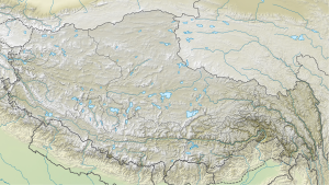
The Qong Muztagh is located in the western section of the Kunlun. The glaciated mountain has two peaks: the main peak has a height of 6962 m , the western summit reaches a height of 6937 m . The Qong Muztagh is located 2.23 km west of the 6976 m high Qong Muztagh East , which lies on the main watershed , which also forms the border between Tibet and Xinjiang. The Qong Muztagh lies within the catchment area of the Keriya River , which cuts through the mountains to the north and flows through the Keriya district of the same name in the Tarim Basin .
Ascent history
The main peak of Qong Muztagh has not yet been climbed. A Japanese expedition climbed the western summit on August 15, 2000.
Web links
- Chung Muztagh, China on Peakbagger.com (English)
- Photos at Qong Muztag - Reconnaissance & First Ascent (PDF)
Individual evidence
- ↑ Asia, China, Kun Lun, Qong Muztagh East (approx 6,976m) . AAJ, 2010, vol. 52.
- ^ Asia, China, Kun Lun Shan, Qong Muztag, First Ascent . AAJ, 2001, vol. 43.
