Rutgers glacier
| Rutgers glacier | ||
|---|---|---|
|
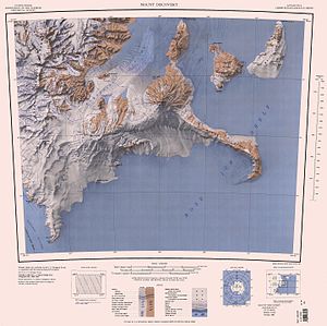
RUTGERS GLACIER in the northwest of the map sheet |
||
| location | Victoria Land , East Antarctica | |
| Mountains | Royal Society Range , Transantarctic Mountains | |
| Coordinates | 78 ° 14 ′ S , 161 ° 55 ′ E | |
|
|
||
| drainage | Skelton Glacier | |
The Rutgers Glacier is a steep glacier in East Antarctic Victoria Land . In the Royal Society Range, it flows southwest from Johns Hopkins Ridge and Mount Rucker to the Skelton Glacier .
It was mapped by the United States Geological Survey and with the help of aerial photographs of the United States Navy . The Advisory Committee on Antarctic Names named him in 1963 after Rutgers University in New Brunswick , New Jersey , from which numerous researchers had been sent to work in Antarctica.
Web links
- Rutgers Glacier in the Geographic Names Information System of the United States Geological Survey (English)
- Rutgers Glacier on geographic.org (English)

