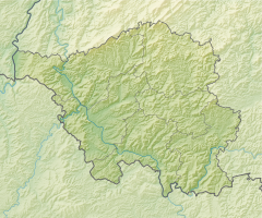
Saarkohlenwald (nature reserve)
|
Saar coal forest
|
||
| location | Saarland , Germany | |
| surface | 24.39 km² | |
| Identifier | NSG-N-6707-301 | |
| WDPA ID | 555638651 | |
| Geographical location | 49 ° 19 ' N , 7 ° 1' E | |
|
|
||
| Setup date | March 21, 2017 | |
The Saarkohlenwald nature reserve is part of the Saarbrücken regional association in Saarland .
The area, which consists of two sub-areas, extends west of Sulzbach / Saar and east of Riegelsberg . At the western edge of the area which runs A 1 and east of the A623 .
meaning
The 2439 hectare area has been designated as a nature reserve since March 21, 2017 under the identifier NSG-N-6707-301.
See also
Web links
- World Database on Protected Areas - Saarkohlenwald (nature reserve )
- Ordinance on the “Saarkohlenwald” nature reserve N 6707-301. From March 21, 2017 on naturschutzdaten.saarland.de, accessed on July 9, 2020

