
Samary (Ratne)
| Samary | |||
| Самари | |||

|
|
||
| Basic data | |||
|---|---|---|---|
| Oblast : | Volyn Oblast | ||
| Rajon : | Ratne district | ||
| Height : | 150 m | ||
| Area : | 2.011 km² | ||
| Residents : | 3,000 (2001) | ||
| Population density : | 1,492 inhabitants per km² | ||
| Postcodes : | 44113 | ||
| Area code : | +380 3366 | ||
| Geographic location : | 51 ° 52 ' N , 24 ° 37' E | ||
| KOATUU : | 0724286901 | ||
| Administrative structure : | 19 villages | ||
| Address: | 44113 с. Самари | ||
| Statistical information | |||
|
|||


Samary ( Ukrainian Самари ; Russian Самары Samary , Polish Samary ) is a village in western Ukraine in Volyn Oblast , Ratne district about 23 kilometers northeast of Ratne district and 134 kilometers north of the Oblast capital Lutsk on Lake Luka .
On October 9, 2016, the village became the center of the newly founded rural community Samary (Ukrainian Самарівська сільська громада Samariwska silska hromada ). At that includes also the 15 villages Beresnyky (Березники) Borowucha (Боровуха) Brodjatyne (Бродятине) Chabaryschtsche (Хабарище) Holowyschtsche (Головище) Jasawni (Язавні) Kosowata (Козовата) times Orichowe (Мале Оріхове) Meschyssyt (Межисить) Pidjasiwni (Під'язівні) Potschapy (Почапи) Salyssyzja (Залисиця) Saluchiw (Залухів) Samary-Orichowi (Самари-Оріхові) Sanywske (Занивське) Saprypjat (Заприп'ять) Schtschetynysta Wolja (Щетиниста Воля) and Terebovychi (Теребовичі), until then the village and the villages of Borowucha , Holovyshche , Yasavni , Kosovata , Pidjasiwni , Sanywske and Terebovychi formed the district council of the same name .
history
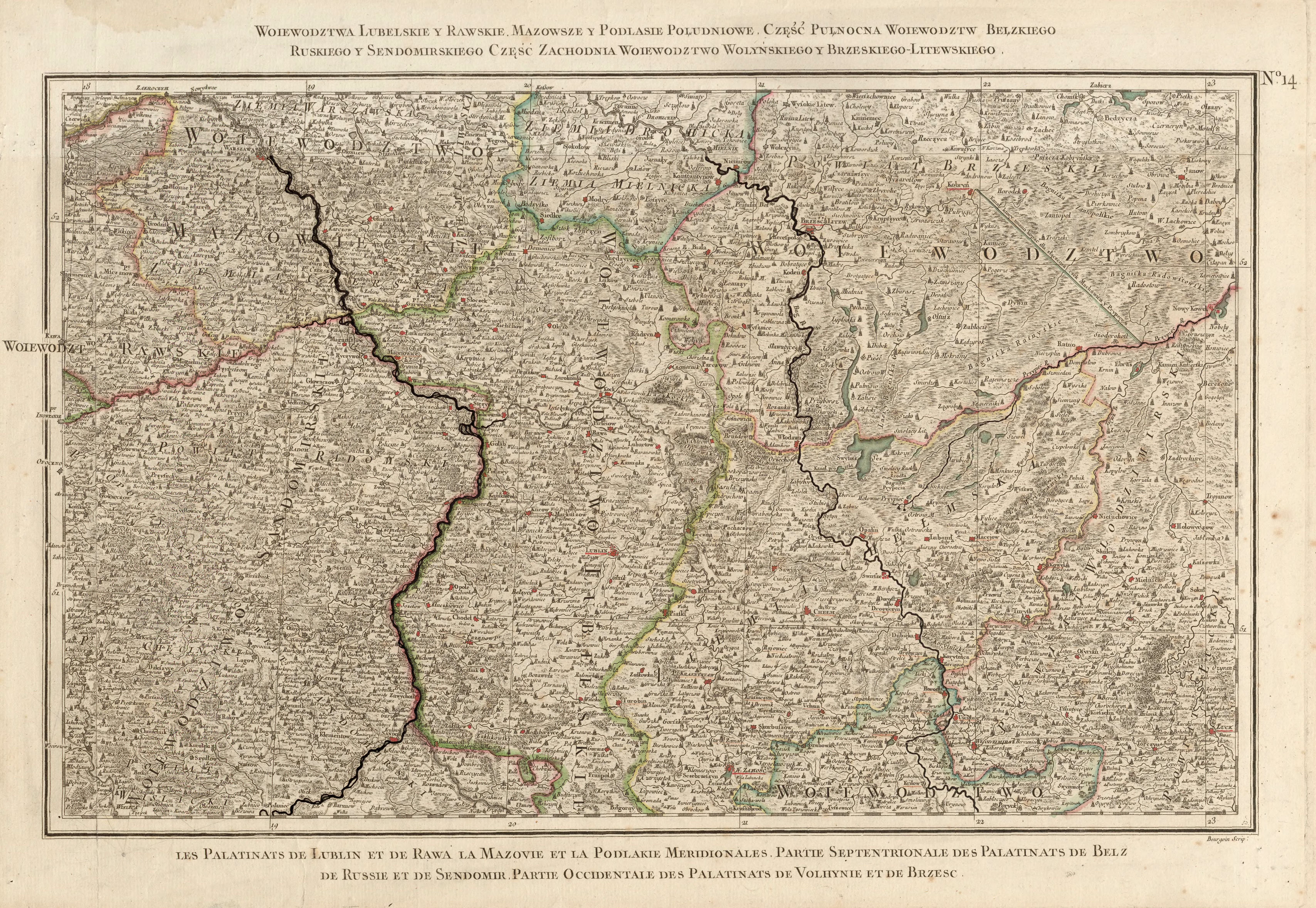
The place was founded in the 16th century and until 1793 belonged to the aristocratic republic of Poland-Lithuania in the Brześć Litewski Voivodeship . With the partitions of Poland , the place fell to the Russian Empire and was in the Volhynia governorate until the end of the First World War .
After the First World War, the place became part of Poland (in the Polesian Voivodeship , Powiat Kobryń , Gmina Lelików ), during World War II it was occupied by the Soviet Union between 1939 and 1941 . After the attack on the Soviet Union in June 1941 it was occupied by Germany until 1944 , this divided the place into the Reichskommissariat Ukraine in the general district Brest-Litowsk / Volhynien-Podolia , district Kobryn .
After the war, the place was added to the Soviet Union. There the village came to the Ukrainian SSR and since 1991 it has been part of today's Ukraine.
Web links
- Entry on the place in the Encyclopedia of the History of Cities and Villages of the Ukrainian SSR (Ukrainian)
- Samary . In: Filip Sulimierski, Władysław Walewski (eds.): Słownik geograficzny Królestwa Polskiego i innych krajów słowiańskich . tape 10 : Rukszenice – Sochaczew . Walewskiego, Warsaw 1889, p. 225 (Polish, edu.pl ).
Individual evidence
- ↑ Відповідно до Закону України "Про добровільне об'єднання територіальних громад" у Волинській області у Ратнівському районі: Залухівська, Межиситівська, Самари-Оріхівська та Самарівська сільські ради рішеннями від 9 жовтня 2016
- ↑ Rizzi Zannoni, Woiewództwa Lubelskie y Rawskie. Mazowsze y Podlasie Południowe. Część Pułnocna Woiewództw Bełzkiego, Ruskiego y Sendomirskiego, część zachodnia Województwo (!) Wolyńskiego y Brzeskiego - Litewskiego .; 1772