Schlattbeeke
|
Schlattbeeke
|
||
| location | South of Bassum , Diepholz district , Lower Saxony | |
| surface | 45 ha | |
| Identifier | NSG HA 189 | |
| WDPA ID | 319072 | |
| FFH area | 45 ha | |
| Geographical location | 52 ° 48 ' N , 8 ° 42' E | |
|
|
||
| Sea level | from 39 m to 54 m | |
| Setup date | December 24, 1998 | |
| administration | NLWKN | |
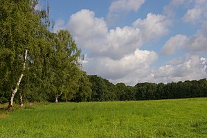
The Schlattbeeke is a former nature reserve in the Lower Saxon town of Bassum in the Diepholz district .
The former nature reserve with the registration number NSG HA 189 was 45 hectares in size. It was part of the FFH area "Geestmoor and Klosterbachtal". In the east it bordered directly on the nature reserve " Geestmoor-Klosterbachtal ". The area has been under nature protection since December 24, 1998. On January 3, 2018, it was merged with the adjacent "Geestmoor-Klosterbachtal" nature reserve to form the new " Geestmoor-Klosterbachtal and Schlattbeeke " nature reserve . The district of Diepholz was responsible under the nature conservation authority.
The former nature reserve is located south of Bassum and west of Apelstedt . It placed a side valley of the monastery brook , through which the periodically water-bearing water flow from the large heather runs, under protection. This should be preserved close to nature. The existing floodplains and spring areas with their quarry and deciduous forests should also be preserved and developed in a natural way. Parts of the former nature reserve are used for forestry and agriculture.


