Schneppruthe
|
Schneppruthe
City of Bergisch Gladbach
Coordinates: 50 ° 59 ′ 32 ″ N , 7 ° 6 ′ 10 ″ E
|
||
|---|---|---|
|
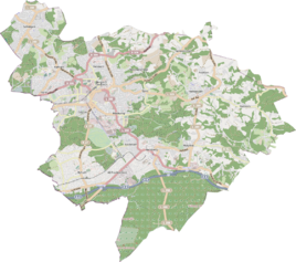
Location of Schneppruthe in Bergisch Gladbach |
||
Schneppruthe is a district in the Hand district of Bergisch Gladbach .
history
The name Schneppruthe was based on the old settlement name Schneppruth , which is recorded in the original cadastre at the confluence of today's street with Handstraße. The Schneppruthe farm was a medieval farm , which was first documented as Sneprode in 1449 .
etymology
The name is derived from the Middle High German snepfe (= snipe / bird species) and ruote (= rod, rod, rod). This results in the reference to bird trapping, which was widespread in the Bergisch region. For this purpose liming rods were used in particular , but also other catching devices with which the birds were lured.
church
The Evangelical Holy Spirit Church is in Schneppruthe at the confluence with Handstrasse.
Mining
Since the middle of the 19th century mining on calamine , iron , lead and pyrites has been carried out on the Maria Meerstern mine . The mine field was at the intersection of Clemensstrasse to Schneppruthe in the direction of In der Krabb .
Individual evidence
- ^ A b c Andree Schulte, Bergisch Gladbach, City history in street names , Bergisch Gladbach 1995, p. 87 ISBN 3-9804448-0-5
- ↑ Holy Spirit Church, accessed on July 30, 2015
literature
- Anton Jux: The Bergisch Botenamt, the history of Bergisch Gladbach up to the Prussian era , published by the Culture Office of the City of Bergisch Gladbach, Bergisch Gladbach 1964
