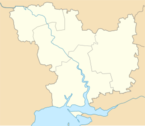
Zelenyj Yar (Domanivka)
| Zelenyj Jar | ||
| Зелений Яр | ||

|
|
|
| Basic data | ||
|---|---|---|
| Oblast : | Mykolaiv Oblast | |
| Rajon : | Domanivka Raion | |
| Height : | 44 m | |
| Area : | 1.628 km² | |
| Residents : | 904 (2001) | |
| Population density : | 555 inhabitants per km² | |
| Postcodes : | 56437 | |
| Area code : | +380 5152 | |
| Geographic location : | 47 ° 42 ' N , 31 ° 1' E | |
| KOATUU : | 4822781501 | |
| Administrative structure : | 6 villages | |
| Address: | вул. Леніна 45 56437 с. Зелений Яр |
|
| Statistical information | ||
|
|
||
Zelenyj Jar ( Ukrainian Зелений Яр ; Russian Зелёный Яр Seljony Jar ) is a village in the Ukrainian Oblast of Mykolaiv with about 900 inhabitants (2001). Until 1950 the village was called Karliwka .
geography
The village on the banks of the Bakshala ( Бакшала ), a 48 km long tributary of the Southern Bug, is the administrative center of the 126.28 km² district council of the same name in Domanivka Raion with about 2000 inhabitants, to which the villages Bohdaniwske ( Богданівське ), Viktorivka ( Вікторівка ), Zelenyj Hai ( Зелений Гай ), Koschtowe ( Коштове ) and Novolikarske ( Новолікарське ).
Zelenyj Yar is located on the P-75 regional road 10 km north of the Domanivka district center and about 130 km northwest of the Mykolaiv oblast center .
Personalities
- Dniprowa Tschajka (1861–1927), Ukrainian writer and poet, was born in the village
Individual evidence
- ↑ The village's website on the Verkhovna Rada website , accessed on July 25, 2016

