Selez (Narodychi)
| Selez | ||
| Селець | ||

|
|
|
| Basic data | ||
|---|---|---|
| Oblast : | Zhytomyr Oblast | |
| Rajon : | Narodychi Raion | |
| Height : | 131 m | |
| Area : | 1.723 km² | |
| Residents : | 565 (2018) | |
| Population density : | 328 inhabitants per km² | |
| Postcodes : | 11406 | |
| Area code : | +380 4140 | |
| Geographic location : | 51 ° 11 ' N , 29 ° 2' E | |
| KOATUU : | 1823787401 | |
| Administrative structure : | 1 village | |
| Address: | вул. Свято Миколаївська буд. 175 11401 смт Народичі |
|
| Website : | Rural community website | |
| Statistical information | ||
|
|
||
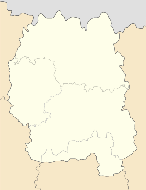
Selez ( Ukrainian Селець ; Russian Селец ) is a village in the northeast of the Ukrainian Oblast Zhytomyr with 565 inhabitants (2018).
The village, founded in the 17th century, had a population of 779 in 2001.
Since the administrative-territorial reform of 2015, Selez, like all municipalities of Narodychi Raion, belongs to the only rural municipality in this Raion.
The village is located at an altitude of 131 m on the bank of the 96 km long Scherew ( Жерев ), just before its confluence with the Ush , 3.5 km southwest of the Narodychi Rajon center and about 130 km northeast of the Zhytomyr Oblast center . The T-06-04 territorial road from Korosten to Narodytschi runs north of the village .
By the Chernobyl nuclear disaster was area in April 1986 radioactively contaminated .
Web links
- Municipal Council website on rada.info (Ukrainian)
Individual evidence
- ↑ Information on local authorities on the official website of the Narodychi rural municipality ; accessed on October 11, 2019 (Ukrainian)
- ^ Local history of Selez in the history of the towns and villages of the Ukrainian SSR ; accessed on October 11, 2019 (Ukrainian)
- ↑ Local website on the official website of the Verkhovna Rada ; accessed on October 11, 2019 (Ukrainian)

