Seru'a
| Seru'a | ||
|---|---|---|
| Basic data | ||
| hebrew : | זְרוּעָה | |
| State : |
|
|
| District : | south | |
| Founded : | 1953 | |
| Coordinates : | 31 ° 27 ' N , 34 ° 37' E | |
| Height : | 134 m | |
| Residents : | 433 (as of 2018) | |
| Community code : | 2064 | |
| Time zone : | UTC + 2 | |
|
|
||
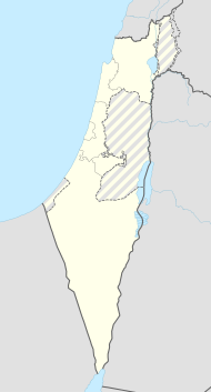
Seru'a ( Hebrew זְרוּעָה, English Zeru'a ) is an association founded in 1953 by Moroccan Jews moshav in Israel. The moshav is located near the city of Netivot in the Sdot Negev regional administration in the southern district . In 2018 the place had 433 inhabitants. The settlement was named after the biblical land of BaMidbar B'Erez Lo Seru'a in the Book of Jeremiah 2: 2 ( Hebrew בַּמִּדְבָּר בְּאֶרֶץ לֹא זְרוּעָה) named.
Individual evidence
- ↑ אוכלוסייה ביישובים 2018 (population of the settlements 2018). (XLSX; 0.13 MB) Israel Central Bureau of Statistics , August 25, 2019, accessed May 11, 2020 .
- ↑ Carta (ed.): Carta's Official Guide to Israel and Complete Gazetteer to all Sites in the Holy Land , Jerusalem 1993.
- ↑ אוכלוסייה ביישובים 2018 (population of the settlements 2018). (XLSX; 0.13 MB) Israel Central Bureau of Statistics , August 25, 2019, accessed May 11, 2020 .
- ↑ טקס הכנסת ספר תורה למושב זרועה שבנגב Article in the HaTzofe , August 24, 1954 [1] (Hebrew)
Web links
Commons : Seru'a - collection of images, videos and audio files
- www.sdotnegev.org.il (Hebrew)
- negevgalil.org.il/settlments (Hebrew)
- www.homee.co.il/ (Hebrew)
