Spadenberg
| Spadenberg | ||
|---|---|---|
|
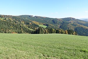
Spadenberg (back left) and Glasenberg (right) seen from the Plattenberg |
||
| height | 1000 m above sea level A. | |
| location | Upper Austria , Austria | |
| Mountains | Enns and Steyrtaler Flysch Mountains , Upper Austrian Pre-Alps | |
| Dominance | 5.8 km → Schieferstein | |
| Notch height | 334 m ↓ Schöfftaler Höhe | |
| Coordinates | 47 ° 57 ′ 19 ″ N , 14 ° 31 ′ 42 ″ E | |
|
|
||
| rock | Altlengbach formation of the flysch zone | |
| Normal way | from the Plattenberg car park | |
The Spadenberg is 1000 m above sea level. A. high mountain in the flysch zone of the Upper Austrian Pre-Alps east of Laussa in Upper Austria .
location
The Spadenberg, together with the lower peaks Plattenberg, Geierkogel and Glasenberg, forms a distinctive ridge that extends between the villages of Laussa in the west and Maria Neustift in the east. To the north, the mountain , which is predominantly overgrown by dense beech forest, drops steeply to the Kleinramingtal .
Ascent
The long-distance hiking trails Voralpenweg (04) and Mariazeller Weg (06) lead over the ridge and summit of the Spadenberg .
From the 880 m high car park just east of the Plattenberg, the summit can be reached on foot in about 30 minutes on simple paths.
The summit is not prominent, has no summit cross and, due to the dense forest, offers no view. There is a wayside cross about 50 m east of the summit .
Web links
Individual evidence
- ↑ Directions to Spadenberg ; accessed on October 15, 2017

