Styr
|
Styr Стир, Стырь |
||
|
The Styr in Lutsk |
||
| Data | ||
| location |
Lviv Oblast , Rivne Oblast , Oblast Volyn ( Ukraine ), Brest Region ( Belarus ) |
|
| River system | Dnepr | |
| Drain over | Pripyat → Dnieper → Black Sea | |
| source | near Brody, 49 ° 59 ′ 37 " N , 25 ° 7 ′ 0" E |
|
| muzzle | in Pripyat coordinates: 52 ° 6 '27 " N , 26 ° 34' 58" E 52 ° 6 '27 " N , 26 ° 34' 58" E
|
|
| length | 494 km | |
| Catchment area | 12,900 km² | |
| Outflow location: 168 km above the mouth |
MQ |
45 m³ / s |
| Left tributaries | Lypa | |
| Right tributaries | Ikwa | |
| Big cities | Lutsk | |
| Medium-sized cities | Wasash | |
| Small towns | Kolky , Saritschne , Roschyschtsche | |
|
Rivers in Volhynia (Ukraine) |
||
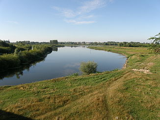
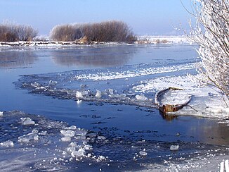
The Styr ( Ukrainian Стир , Russian Стырь ) is a right tributary of the Pripyat with a length of 494 km. Its catchment area is 12,900 km² (according to other sources 13,100 km²). The Styr rises on the northwestern foothills of the Podiler Heights near the eastern Galician city of Brody . It then flows through the Ukrainian oblasts of Lviv , Rivne and Volyn and the Belarusian Breszkaja Woblasz , where it finally flows into the Pripyat. In the lower reaches it flows through the Pripjet swamps .
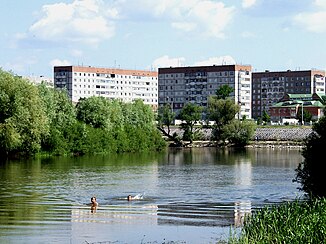
Larger cities on the river are the Volhyn oblast capital Lutsk and Warasch .
Web links
Commons : Styr - collection of images, videos and audio files


