
Svinjak
| Svinjak | ||
|---|---|---|
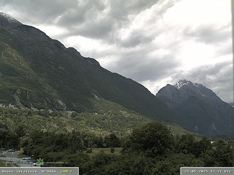
 View from the Bovec basin |
||
| height | 1653 m. i. J. | |
| location | Slovenia | |
| Mountains | Julian Alps | |
| Coordinates | 46 ° 21 '1 " N , 13 ° 36' 8" E | |
|
||
| rock | limestone | |

The Svinjak is a mountain in the Julian Alps in Slovenia . The summit is at an altitude of 1653 m. i. J. The mountain is located in the area of the Bovec municipality and most of it is already in the Triglav National Park . Below the Svinjak are the Soča , Koritnica and Šumnik brook valleys . The Svinjak is the westernmost peak of a mountain range, the highest point of which is the Bavški Grintavec .
Ascent

Since the Svinjak offers a good view of the Bovec basin and the Soča valley on the one hand, and the Triglav on the other hand , the Svinjak is a popular panoramic mountain. From the village of Kal - Koritnica ( 460 m. I. J. ) a hiking trail leads to the summit. In the upper part of the path there are exposed rocky passages that require surefootedness and a head for heights . The walking time for the ascent is given as three hours.
Open-air museum Čelo
The so-called Čelo open - air museum is located on the western slope . This is an Austrian cannon position from the time of the First World War . The position was called base Kal and was created from November 1914 to spring 1915, when it was foreseeable that Italy would join the Entente and go to war against Austria-Hungary . Two 12 cm cannons were set up and, together with the fortress Kluže and Fort Hermann, served to secure the border at the Bovec Basin.
supporting documents
- ↑ ČELO - open-air museum on the website of the Paths of Peace Foundation in the Soča Valley