Tchoryn
| Tchoryn | ||
| Тхорин | ||

|
|
|
| Basic data | ||
|---|---|---|
| Oblast : | Zhytomyr Oblast | |
| Rajon : | Owrutsch district | |
| Height : | 280 m | |
| Area : | 3.871 km² | |
| Residents : | 1,277 (2001) | |
| Population density : | 330 inhabitants per km² | |
| Postcodes : | 11123 | |
| Area code : | +380 4148 | |
| Geographic location : | 51 ° 24 ' N , 28 ° 20' E | |
| KOATUU : | 1824287305 | |
| Administrative structure : | 1 village | |
| Address: | вул. Поліська буд. 9 11122 с. Словечне |
|
| Website : | Official website of the Slovechne rural community | |
| Statistical information | ||
|
|
||
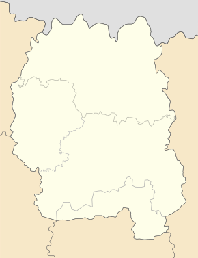
Tchoryn ( Ukrainian Тхорин ; Russian Тхорын , Polish Tchoryn / Dycharyn ) is a village in the north of the Ukrainian Oblast Zhytomyr with about 1200 inhabitants (2001) and an area of 3.871 km².
The village is in Polesia at an altitude of 280 m on the banks of Slovechna , a 158 km long right tributary of the Pripyat and belongs since November 2017. rural community Slowetschne ( Словечанську сільську територіальну громаду Slowetschansku silsku terytorialnu hromadu ) in Rajon Ovruch .
The village is located 3 km north of the community center Slowetschne , 35 km northwest of Rajonzentrums Ovruch and about 150 km north of the Oblastzentrums Zhytomyr .
In April 1986, which was field by the nuclear disaster at Chernobyl radioactively contaminated .
Web links
- Tchoryn or Dycharyn . In: Filip Sulimierski, Władysław Walewski (eds.): Słownik geograficzny Królestwa Polskiego i innych krajów słowiańskich . tape 12 : Szlurpkiszki – Warłynka . Walewskiego, Warsaw 1892, p. 269 (Polish, edu.pl ).
Individual evidence
- ↑ Local website on the official website of the Verkhovna Rada ; accessed on May 19, 2020 (Ukrainian)


