Gate
| Gate | |||
|---|---|---|---|
|
View from the north of the gatehouse |
|||
| Compass direction | west | east | |
| Pass height | 1815 m above sea level A. | ||
| state | Tyrol | ||
| Watershed | Rontalbach → Rißbach → Isar | Torbach → Rißbach → Isar | |
| expansion | trail | ||
| Mountains | Karwendel | ||
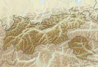
| Map (Tyrol) | |||
|
|
|||
| Coordinates | 47 ° 27 '9 " N , 11 ° 26' 3" E | ||
The Torscharte ( 1815 m above sea level. A. ) is a notch in the ridge that extends from the Northern Karwendel Chain north to Torkopf draws and Rontal the west by Tortal separates the east. The saddle itself is wide and grassy and serves as pasture for the Tortalalm .
Tour possibilities
The gatehouse is the highest point on the Rontal-Tortal circuit, which can be climbed as a ski, snowshoe or mountain tour. The only more easily accessible summit from the saddle is the Torkopf in the north. In the south, on the other hand, the steep, inaccessible north faces of the Northern Karwendel range adjoin.

