Trough of Bowland
| Trough of Bowland | |||
|---|---|---|---|
|
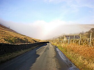
The road across the Trough of Bowland |
|||
| Compass direction | west | east | |
| Pass height | 295 m | ||
| county | Lancashire | ||
| Watershed | Wyre | River Hodder | |
| Valley locations | Marhsaw | Dunsop Bridge | |
| expansion | Pass road | ||
| Map (Lancashire) | |||
|
|
|||
| Coordinates | 53 ° 58 ′ 9 ″ N , 2 ° 34 ′ 15 ″ W | ||
The Trough of Bowland (German: Trog von Bowland) is a pass in the Forest of Bowland in Lancashire , England . Until 1974, the border between Lancashire and the West Riding of Yorkshire ran over the pass.
The pass with a height of 295 m is on the connecting road from Lancaster to Clitheroe .
Although only the top of the pass, which is bordered by the Winfold Fell in the west and the Blaze Moss in the east , can be called the Trough of Bowland, the name is often given wider for tourist purposes. A stretch of road between Dunsop Bridge and Abbeystead is associated with the Trough of Bowland.
proof
- ↑ See Visitlancashire.com. Various entries on Dunsop Bridge

