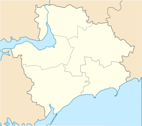
Chkalove (Pryasovsk)
| Chkalove | ||
| Чкалове | ||

|
|
|
| Basic data | ||
|---|---|---|
| Oblast : | Zaporizhia Oblast | |
| Rajon : | Pryasovské district | |
| Height : | 15 m | |
| Area : | 2.268 km² | |
| Residents : | 955 (2001) | |
| Population density : | 421 inhabitants per km² | |
| Postcodes : | 72453 | |
| Area code : | +380 6133 | |
| Geographic location : | 46 ° 33 ' N , 35 ° 39' E | |
| KOATUU : | 2324586801 | |
| Administrative structure : | 1 village | |
| Address: | вул. Леніна, буд. 87 72 453 с. Чкалове |
|
| Website : | City council website | |
| Statistical information | ||
|
|
||
Tschkalowe ( Ukrainian Чкалове ; Russian Чкалово Tschkalowo ) is a village in the south of the Ukrainian Oblast of Zaporizhia with about 950 inhabitants (2001).
The village founded under the name Troitske was called Kostjantyniwka from 1883 and received its current name in 1938.
The 2.268 km² large town is located at an altitude of 15 m on the shores of the Sea of Azov , 25 km south of the Pryasovsk district center and about 170 km south of the Zaporizhia Oblast center . Tschkalowe is the only village of the same name, 35.470 km² district council in the south of Pryasowske Rajon . In the northeast, the municipality borders on the district council of Novokostjantyniwka and in the southwest on the district council of Stepanivka Perscha .
Sons and daughters of the village
- Fyodor Filippowitsch Konjuchow (* 1951), Russian adventurer, traveler, writer, painter and priest
Individual evidence
- ↑ a b local website on the official website of the Verkhovna Rada ; accessed on November 18, 2019 (Ukrainian)
- ^ Website of the district council on the official website of the Verkhovna Rada; accessed on November 18, 2019 (Ukrainian)

