Wallingford, Connecticut
| Wallingford | ||
|---|---|---|
|
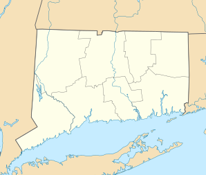
Location in Connecticut
|
||
| Basic data | ||
| Foundation : | 1667 | |
| State : | United States | |
| State : | Connecticut | |
| County : | New Haven County | |
| Coordinates : | 41 ° 27 ′ N , 72 ° 48 ′ W | |
| Time zone : | Eastern ( UTC − 5 / −4 ) | |
| Residents : | 44,736 (as of 2005) | |
| Population density : | 442.5 inhabitants per km 2 | |
| Area : | 103.3 km 2 (approx. 40 mi 2 ) of which 101.1 km 2 (approx. 39 mi 2 ) is land |
|
| Height : | 46 m | |
| Postal code : | 06492 | |
| Area code : | +1 203 | |
| FIPS : | 09-78740 | |
| GNIS ID : | 0213522 | |
| Website : | www.town.wallingford.ct.us | |
| Mayor : | William W. Dickinson, Jr. | |
Wallingford is a city in New Haven County in the south of the US state Connecticut , United States , with 45,000 inhabitants (as of 2010). It is located on the Quinnipiac River . The geographical coordinates are: 41.45 ° North, 72.82 ° West. The urban area has a size of 103.3 km².
The elite boarding school Choate Rosemary Hall is located locally . The US Post Office building in Delmar is on the National Register of Historic Places .
history
The city was founded in 1638, was originally called the East River , was incorporated in 1670 and renamed Wallingford. The last witch trial in New England took place here in 1697 ; Winifred Benham was charged three times with witchcraft and always acquitted. Wallingford had been producing silverware since 1835.
On September 2, 1913, a serious railway accident occurred near the city in which 26 people died.
sons and daughters of the town
- Jovan Alexandre (* 1988), jazz musician
- Stephen R. Bradley (1754-1830), United States Senator for Connecticut
- Samuel Wittlesey Dana (1760–1830), US Senator for Connecticut
- Robert Gober (* 1954), artist
- Lyman Hall (1724–1790), one of the founding fathers of the United States
- Jared Potter Kirtland (1793–1877), doctor, politician, and naturalist
- George Schaefer (1920–1997), director
Web links
- Official website of the City of Wallingford
Individual evidence
- ^ John Putnam Demos: Entertaining Satan: Witchcraft and the Culture of Early New England , Oxford Press, 2004, p. 409.
