Wollaston Islands
| Wollaston Islands | ||
|---|---|---|
|
NASA image of the Wollaston Islands (north) and the Hermite Islands (south) |
||
| Waters | Drake Street | |
| archipelago | fire land | |
| Geographical location | 55 ° 40 ′ S , 67 ° 25 ′ W | |
|
|
||
| Number of islands | 4th | |
| Main island | Isla Wollaston | |
| Total land area | 350 km² | |
| Residents | uninhabited | |
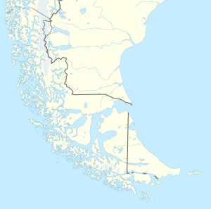
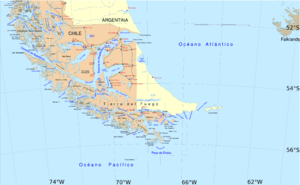
| Map of Tierra del Fuego with the Wollaston Islands to the south | ||
The Wollaston Islands ( Spanish Islas Wollaston ) are an uninhabited archipelago in the Tierra del Fuego archipelago in southern Chile , about 60 km south of Puerto Williams . Administratively, the islands belong to the municipality of Cabo de Hornos in the Región de Magallanes y de la Antártica Chilena . The archipelago was named between 1821 and 1823 by the British naval officer Henry Foster in honor of William Hyde Wollaston , an English doctor, physicist and chemist. With the Yámana the islands were called Yachkusin , in German "place of the islands".
geography
The archipelago includes four islands and numerous rocks. The largest and main island is Isla Wollaston in the center of the group, with an area of 221.9 km². The other three islands are Isla Grevy , Isla Bayly and Isla Freycinet . The highest point is Monte Hyde on the main island at 670 meters.
The archipelago is located in the north with the Isla Grevy from the island of Navarino , 25 km away , and in the west from the island of Hoste , 16 km away , especially its Hardy Peninsula with the False Cape Horn . In between lies the Bahía Nassau. In the east lies the open Atlantic .
A few kilometers south of the Wollaston Islands is the group of Hermite Islands with the island of Hornos , on which Cape Horn is located. The two archipelagos are separated by the Franklin Canal , which measures 1.3 km (from Isla Freycinet to Isla Herschel ) to 1.5 km (from Isla Wollaston to Isla Herschel ) at its narrowest points .
The Wollaston Islands are part of the Cape Horn National Park .
Web links
- Cabo de Hornos, map and information (English)
Individual evidence
- ↑ UNEP Islands (English)
- ↑ Sailing Directions Enroute - Pub. 124, 2007 (English; PDF, 8MB)


