Woodbury (Connecticut)
| Woodbury | ||
|---|---|---|
|
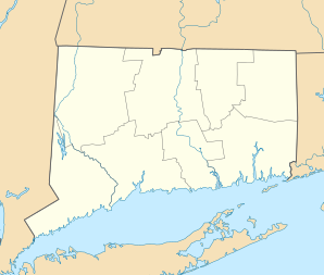
Location in Connecticut
|
||
| Basic data | ||
| Foundation : | 1673 | |
| State : | United States | |
| State : | Connecticut | |
| County : | Litchfield County | |
| Coordinates : | 41 ° 34 ′ N , 73 ° 13 ′ W | |
| Time zone : | Eastern ( UTC − 5 / −4 ) | |
| Residents : | 9,734 (as of 2005) | |
| Population density : | 103.1 inhabitants per km 2 | |
| Area : | 95.1 km 2 (approx. 37 mi 2 ) of which 94.4 km 2 (approx. 36 mi 2 ) is land |
|
| Height : | 74 m | |
| Postal code : | 06798 | |
| Area code : | +1 203 | |
| FIPS : | 09-87910 | |
| GNIS ID : | 0213540 | |
| Website : | www.woodburyct.org | |
Woodbury is a city in Litchfield County in the US state of Connecticut , United States , with 9,734 inhabitants (as of 2005). The geographical coordinates are: 41.55 ° North, 73.21 ° West. The urban area has a size of 95.1 km².
sons and daughters of the town
- Nathan Brownson (1742–1796), politician
- Carmen D'Avino (1918–2004), filmmaker and painter
- Barbara Potter (born 1961), tennis player
- Nathan Smith (1770–1835), politician
- Perry Smith (1783-1852), politician
- William R. Taylor (1820-1909), politician
- James Watson (1750-1806), politician
literature
- William Cothren: History of Ancient Woodbury, Connecticut, from the First Indian Deed in 1659 to 1872, Including the Present Towns of Washington, Southburn, Bethlehem, Roxbury, and a Part of Oxford and Middleburg. 3 volumes. Woodbury, 1872. (Digital copies: Volume I ; Volume II ; Volume III )
Web links
Commons : Woodbury, Connecticut - Collection of pictures, videos, and audio files
