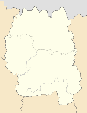
Vystupowytschi
| Vystupowytschi | ||
| Виступовичі | ||

|
|
|
| Basic data | ||
|---|---|---|
| Oblast : | Zhytomyr Oblast | |
| Rajon : | Owrutsch district | |
| Height : | 130 m | |
| Area : | 0.089 km² | |
| Residents : | 80 (2004) | |
| Population density : | 899 inhabitants per km² | |
| Postcodes : | 11110 | |
| Area code : | +380 4148 | |
| Geographic location : | 51 ° 34 ' N , 29 ° 5' E | |
| KOATUU : | 1824286709 | |
| Administrative structure : | 1 village | |
| Address: | вул. Шкільна 24 11111 с. Рудня |
|
| Statistical information | ||
|
|
||
Wystupowytschi ( Ukrainian Виступовичі ; Russian Выступовичи Wystupowitschi ) is a village in the north of the Ukrainian Oblast Zhytomyr with about 80 inhabitants (2006).
The village was founded in 1475 and administratively belongs to the district council of Rudnja ( Рудня ) in the north of the Ovrutsch district . By the Chernobyl nuclear disaster which was field radioactive in April 1986 contaminated .
geography
Vystupowytschi is located on the regional road P-28 38 km northeast of the district center Ovrutsch and 170 km north of the Oblast center Zhytomyr near the border with the Belarusian district Jelsk .
Personalities
- Viktor Muschenko (* 1961), Colonel General , Chief of Staff and Chief of the Armed Forces of Ukraine
Individual evidence
- ↑ side of the village on the website of the Verkhovna Rada , retrieved (Ukrainian) on February 21, 2015

