Ten way
|
Ten way
City of Bergisch Gladbach
Coordinates: 51 ° 1 ′ 6 ″ N , 7 ° 4 ′ 44 ″ E
|
||
|---|---|---|
|
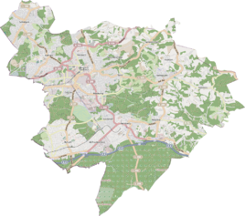
Location of Zehntweg in Bergisch Gladbach |
||
Zehntweg is a district in the Schildgen district of Bergisch Gladbach .
history
The settlement name Zehntweg is identical to the historical traffic route, which is recorded in the original cadastre as Zehntweg from Schildgen to Nittum .
etymology
The name is derived from the Middle High German zehente (= the tenth part, especially as a donation of cattle and fruits). He referred to the farms lying on the way, which had to pay their tithe dues to the manor of Strauweiler .
Individual evidence
- ^ A b Andree Schulte, Bergisch Gladbach, city history in street names , published by the Bergisch Gladbach city archive, volume 3, and by the Bergisches Geschichtsverein department Rhein-Berg e. V., Volume 11, Bergisch Gladbach 1995, p. 36, ISBN 3-9804448-0-5
literature
- Anton Jux: The Bergisch Botenamt, the history of Bergisch Gladbach up to the Prussian era , published by the Culture Office of the City of Bergisch Gladbach, Bergisch Gladbach 1964
