Hoverhof (Bergisch Gladbach)
|
Hoverhof
City of Bergisch Gladbach
Coordinates: 51 ° 1 ′ 27 ″ N , 7 ° 5 ′ 27 ″ E
|
||
|---|---|---|
|
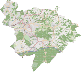
Location of Hoverhof in Bergisch Gladbach |
||
|
The hover yard
|
||
Hoverhof is a district in the Schildgen district of Bergisch Gladbach .
history
The Hoverhof was one of the early settlement cores of Schildgen, which emerged as feudal estates of the Osenau rule in the high medieval rode epoch. The original cadastre lists four larger buildings that had access to the road from Mülheim to Odenthal (today Altenberger-Dom-Straße). In 1830 there were 14 residents here.
etymology
The court settlement Hoverhof was mentioned in 1612 in connection with a personal name as zu Hove . Hove is a subsidiary of the Hoof land measure , which comprised 50–60 acres of land. As a result, the farm was equipped with a hoof of land when it was founded.
monument
The half-timbered house Hover Hof 2 was entered under No. 25 in the list of architectural monuments in Bergisch Gladbach .
See also
Individual evidence
- ^ A b Andree Schulte, Bergisch Gladbach, city history in street names , published by the Bergisch Gladbach city archive, volume 3, and by the Bergisches Geschichtsverein department Rhein-Berg e. V., Volume 11, Bergisch Gladbach 1995, p. 25, ISBN 3-9804448-0-5
literature
- Anton Jux: The Bergisch Botenamt, the history of Bergisch Gladbach up to the Prussian era , published by the Culture Office of the City of Bergisch Gladbach, Bergisch Gladbach 1964

