In the Aehlemaar
|
In the Aehlemaar
City of Bergisch Gladbach
Coordinates: 51 ° 0 ′ 52 ″ N , 7 ° 5 ′ 9 ″ E
|
||
|---|---|---|
|
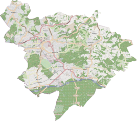
Location of Im Aehlemaar in Bergisch Gladbach |
||
In Aehlemaar is a district in the Schildgen district of Bergisch Gladbach .
history
The district Im Aehlemaar originally formed the northern section of Sträßchen Siefen and in 1959 received the local and cadastral designation Im Aehlemar by council resolution. The original cadastre from 1827 lists the field name as An der Oehlmaar .
etymology
The basic word maar indicates stagnant or swampy water. The meaning of Aehle cannot be clearly clarified. It is most likely that it is the vernacular name of alder . Then it would be swampy terrain covered with alder trees.
Individual evidence
- ^ A b Andree Schulte, Bergisch Gladbach, city history in street names , published by the Bergisch Gladbach city archive, volume 3, and by the Bergisches Geschichtsverein department Rhein-Berg e. V., Volume 11, Bergisch Gladbach 1995, p. 26, ISBN 3-9804448-0-5
