Rothbroich
|
Rothbroich
City of Bergisch Gladbach
Coordinates: 51 ° 1 ′ 21 ″ N , 7 ° 5 ′ 9 ″ E
|
||
|---|---|---|
|
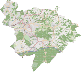
Location of Rothbroich in Bergisch Gladbach |
||
|
Rothbroich with a view of the Dhünnaue near the Hoverhof
|
||
Rothbroich is a district in the Schildgen district of Bergisch Gladbach .
history
The Rothbroich settlement emerged from a medieval farm that was founded as a feudal court for the manor of Osenau during the high medieval rode era . A hamlet developed here by the 19th century , which around 1930 had 26 inhabitants. Around 1900 there were already almost twice as many with 50 inhabitants. The original cadastre records the settlement on both sides of the old road from Mülheim to Odenthal , which is today's Altenberger-Dom-Straße, as Roth-Broich . In 1314 Rothbroich was mentioned in a document as Bruche .
Individual evidence
- ^ Andree Schulte, Bergisch Gladbach, city history in street names , published by the Bergisch Gladbach city archive, volume 3, and by the Bergisches Geschichtsverein department Rhein-Berg e. V., Volume 11, Bergisch Gladbach 1995, p. 32 f., ISBN 3-9804448-0-5

