
Kyperounta
Kyperounta Town
Κυπερούντα Town | |
|---|---|
Town | |
 Scenic view of Kyperounta | |
 Kyperounta Town Location in Cyprus | |
| Coordinates: 34°56′29″N 32°58′9″E / 34.94139°N 32.96917°E | |
| Country | |
| District | Limassol District |
| Population (2001)[1] | |
| • Total | 1,497 |
| Time zone | UTC+2 (EET) |
| • Summer (DST) | UTC+3 (EEST) |
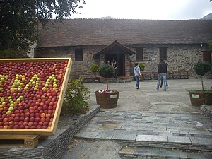
Kyperounta (Greek: Κυπερούντα) is a town in Cyprus. It lies at an altitude of 1,140 meters. With a population in approximately 1,500 it can be called the head-town of Pitsilia. The town took its name from the plant Cyperus rotundus (kyperos). Kyperounda was established during the Byzantine period. At historical documents was called "Chiperonda".
-
 Church Agias Marinas
 -
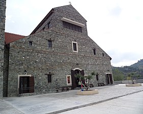
 church of Virgin Mary (Panagia) and Chrysosotiros
 -
 Saint Arsenios church

_and_Chrysosotiros_at_Kyperounta_3.jpg)

References[edit]
External links[edit]
Wikimedia Commons has media related to Kyperounta.

| International | |
|---|---|
| National | |
This Cyprus location article is a stub. You can help Wikipedia by expanding it. |