A26 road
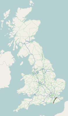
| A26 road in the UK | |

|
|
| map | |
| Basic data | |
| Operator: | |
| Start of the street: | Maidstone |
| End of street: | Newhaven |
| Overall length: | 78.9 km (49 mi ) |
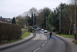
| The A26 in Broadwater Down (photo 2008) | |
The A26 road ( English for road A26 ) is a 78.9 km long, on most of its course as primary route designated road, which leads from Maidstone to Newhaven on the English Channel .
course
The road begins in Maidstone on the A20 road , heads west-southwest to Merewood , where it meets the A 228 road coming from Rochester , designated as the Primary route , and continues, now Primary route, to Tonbridge . After crossing with the A21 road , which bypasses the city to the south , the A26 continues to Royal Tunbridge Wells and from there via Crowborough im Weald to Uckfield on the River Ouse , which it bypasses together with the A22 road on a bypass to the west. After turning off the A22, it continues to Lewes and crosses the A27 road south of the city, which follows the coast at some distance. After a short walk with the latter, following the River Ouse, it leads to the Newhaven ferry port (ferry connection to Dieppe in France ), where it meets and ends on the A259 road .


