A58 road
| A58 road in the UK | |

|
|
| map | |
| Basic data | |
| Operator: | |
| Start of the street: | Prescot (Merseyside) |
| End of street: | Wetherby |
| Overall length: | 121 km (75.2 mi ) |
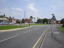
| A57 (M) in Leeds (photo 2006) | |
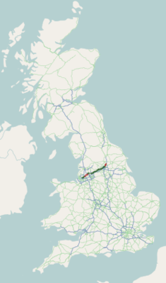
The A58 road ( English for road A58 ) is a 121 km long, partly designated as a primary route road in England, which connects Prescot (Merseyside) east of Liverpool with Wetherby in West Yorkshire .
course
The road leads from Prescot, where it branches off the A57 road , to the east-north-east, crossing the M6 motorway , via Ashton-in-Makerfield , Hindley and Westhoughton to the A6 road and immediately afterwards to the M61 motorway (junction 5), the A58 continues in a curve on a bypass north around Bolton , crosses the A56 road and the M66 motorway at Bury (at junction 2) and leads through Rochdale , where the A627 (M) motorway meets them. It runs roughly parallel to the M62 motorway to Halifax and continues as a primary route to the junction of the M62 motorway with the short M606 motorway . From there it continues to Leeds , where it meets the A61 road , the A62 road , the A63 road , the A64 road and the A65 road and forms the A58 (M) motorway over a short section . Leaving Leeds in a north-easterly direction, the A58 ends in Wetherby near the A1 (M) motorway .


