Aiguillon (Cèze)
| Aiguillon | ||
|
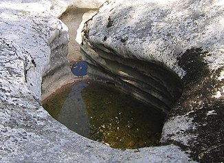
In the Concluses de Lussan gorge |
||
| Data | ||
| Water code | FR : V5460580 | |
| location | France , Occitania region | |
| River system | Rhône | |
| Drain over | Cèze → Rhône → Mediterranean | |
| source | near the hamlet of La Valus , in the municipality of Bouquet 44 ° 7 ′ 33 ″ N , 4 ° 19 ′ 42 ″ E |
|
| Source height | approx. 287 m | |
| muzzle | on the municipal boundary of Verfeuil and Goudargues in the Cèze Coordinates: 44 ° 11 ′ 43 ″ N , 4 ° 29 ′ 4 ″ E, 44 ° 11 ′ 43 ″ N , 4 ° 29 ′ 4 ″ E |
|
| Mouth height | approx. 65 m | |
| Height difference | approx. 222 m | |
| Bottom slope | approx. 10 ‰ | |
| length | 22 km | |
| Left tributaries | Merderis | |
| Right tributaries | Avègue | |
The Aiguillon is a river in France that runs in the Gard department in the Occitanie region . It rises near the hamlet of La Valus , in the municipality of Bouquet , close to the border with the neighboring municipality of Vallérargues . The river generally drains in a south-easterly direction and flows into the Cèze as a right tributary after 22 kilometers at the municipal boundary of Verfeuil and Goudargues .
Places on the river
- Lussan
- Goussargues, municipality of Goudargues
Hydrology
The water flow of the Aiguillon fluctuates with the seasons and often leads to complete drying up in summer.
Attractions
The river forms the Concluses de Lussan gorge in the limestone, which can be walked on when the water level is low and kayaks when the water level is higher.
