
Alesrain
|
Alesrain
Dirlewang market
Coordinates: 47 ° 59 ′ 20 ″ N , 10 ° 28 ′ 34 ″ E
|
|
|---|---|
| Height : | 680 m above sea level NHN |
| Postal code : | 87742 |
| Area code : | 08267 |
Alesrain is a district of the Upper Swabian market Dirlewang in the Unterallgäu district in Bavaria . The wasteland is about 2.5 kilometers west of the main town and is connected to it by a local road. In the east are the sources of the Straßbach , to the west the Magnusrinne runs . The hamlet is bordered to the north by the community forest and to the south by the Mausloch forest . The other areas are mostly used for agriculture.
history
Around 1140 the name was Alrichsrain . From around 1095 the place belonged to the Ottobeuren monastery , which sold it to the Mindelheim rule in 1566 . With the Reichsdeputationshauptschluss 1803, the place came to the political community Dirlewang.
literature
- Hermann Haisch (Ed.): Landkreis Unterallgäu . Memminger Zeitung Verlagsdruckerei, Memmingen 1987, ISBN 3-9800649-2-1 , p. 965 .
Individual evidence
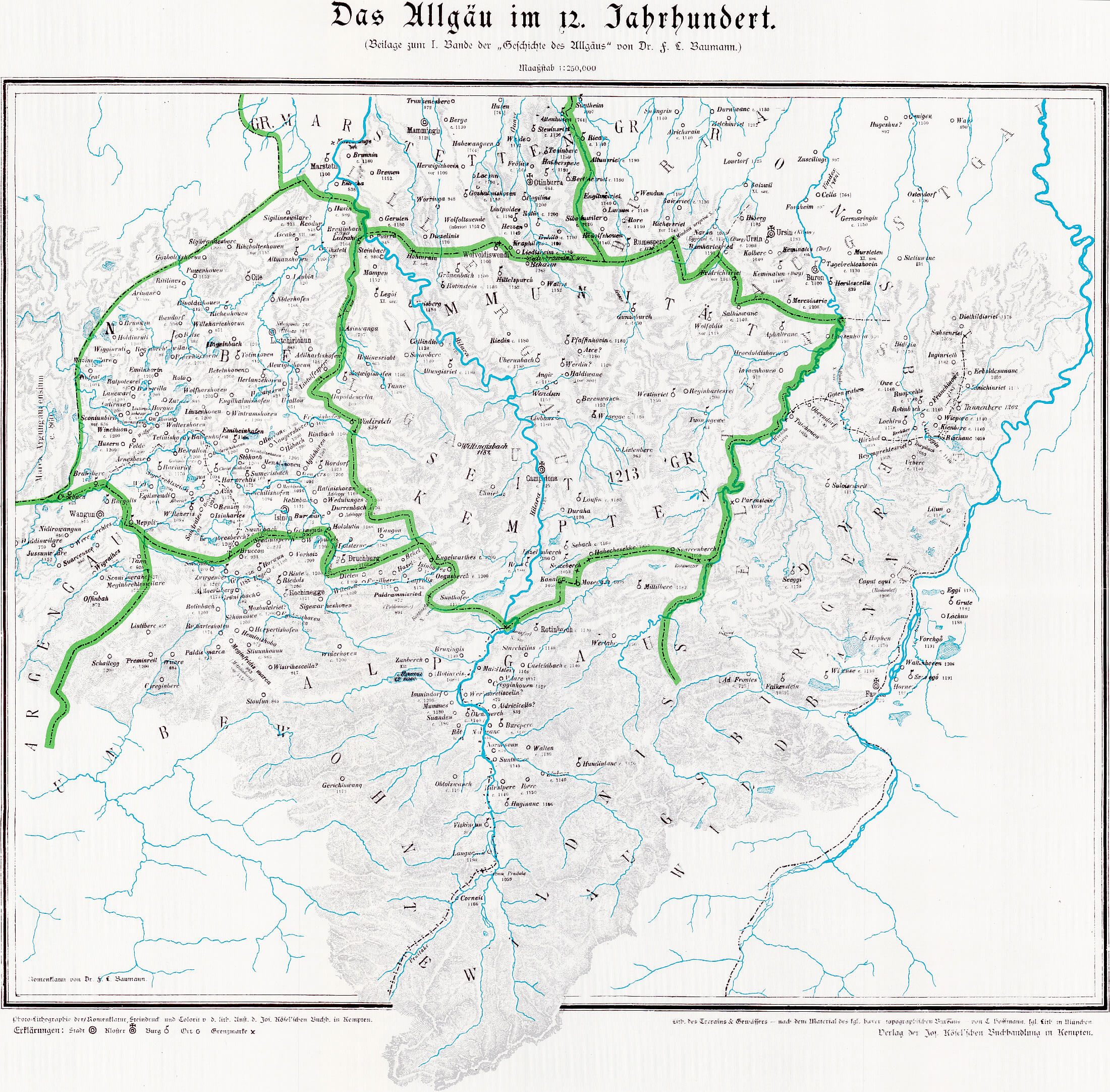
- ^ Map: The Allgäu in the 12th century. Retrieved October 21, 2016 .

Officially named parts of the municipality of Dirlewang market