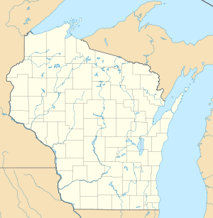
Alexander Lake (Lincoln County, Wisconsin)
| Alexander Lake | ||
|---|---|---|
| Geographical location | Lincoln County , Wisconsin | |
| Drain | Wisconsin River → Mississippi River → Gulf of Mexico | |
| Location close to the shore | Harding , Merrill , Scott | |
| Data | ||
| Coordinates | 45 ° 11 ′ 41 ″ N , 89 ° 45 ′ 13 ″ W | |
|
|
||
| Altitude above sea level | 388 m | |
| surface | 250.1 hectares | |
| Maximum depth | 11 m | |
The Alexander Lake (on some maps also Lake Alexander , with the United States Army Corps of Engineers in a list from 1981 also Alexander Flowage ) is a reservoir in Lincoln County , Wisconsin , northwest of the city of Merrill , with an area of approximately 250 hectares (618 Acre ) and a maximum depth of 11 meters (36 feet).
The lake is dammed by the Alexander Dam, on which there is a hydroelectric power station with an annual capacity of 4.2 MW , operated by the Wisconsin Public Service ; one of 25 hydropower plants on the Wisconsin River. The power plant went into operation in 1925.
There are two jetties by the lake , one on the west side of the Scottish Town on Sunset Drive, the other on the south side at the end of Forrest Drive. On the southeastern shore of the lake is a public beach, the "Council Grounds State Beach", which is part of the Council Grounds State Park . The name Council Grounds comes from the assumption that it was a former meeting place of the Anishinabe Indians.
Alexander Lake is rich in fish. The following fish species can be found in it, among others: blue sunfish ( Lepomis macrochirus ), largemouth bass ( Micropterus salmoides ), glass eye perch ( Sander vitreus ), pike ( Esox lucius ), muscle lung ( Esox masquinongy ) and black bass ( Micropterus dolomieu ). As invasive Flusskrebsart was American Stainless cancer ( Orconectes rusticus ) spotted in the lake.
The bottom of the eutrophic lake consists of 60 percent sand, plus 15 percent gravel, 10 percent rocks and 15 percent mud.
Web links
- Side of the lake on the website of the Wisconsin Department of Natural Resources (English)
- Alexander Lake in the Geographic Names Information System of the United States Geological Survey (English)
Individual evidence
- ↑ US Army Corps of Engineers: Dams and Reservoirs List , Washington, DC, March 18, 1981. A listing of impounded bodies of water and associated information (English)
- ↑ Hydroelectric Power Plants on the Wisconsin River on the Wisconsin Valley Improvement Company website
- ↑ Hydroelectic Power Plants operated by the Wisconsin Public Service
- ↑ The lake on the website of Stat Merrill (English)
