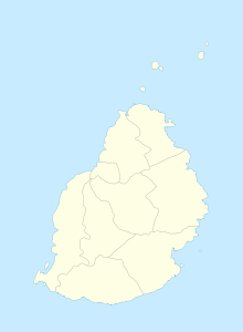
Amaury (Mauritius)
Coordinates: 20 ° 8 ′ S , 57 ° 40 ′ E
Amaury is a place ("Village") on Mauritius .
The northern part of Amaury belongs to the Rivière du Rempart district , the southern part is in the Flacq district . At the 2011 census, the place had 2,960 inhabitants (of which 319 in the Flacq district and 2,641 in the Rivière du Rempart district). Both parts belong administratively to the Village Council Area Amaury.
The place takes its name from Jean-Baptiste Amaury, who set up a plantation here in the 18th century. In 1928 a mosque , the Imdad Muselmine Mosque, was laid out. With 823 Muslim inhabitants, Amaury has a relatively large Muslim population.
literature
- Benjamin Moutou: Pamplemousses - Rivière du Rempart - Quatre siècles d'histoire, 2006, ISBN 978-99903-992-9-5 , SS 325
Individual evidence
- ↑ Statistics Mauritius: Housing and population census 2011 , Volume II: Demographic and fertility characteristics , pp. 71-72, statsmauritius.govmu.org (PDF): the values for both districts must be added.
