Andrijiwka (Welyka Nowosilka)
| Andriivka | ||
| Андріївка | ||

|
|
|
| Basic data | ||
|---|---|---|
| Oblast : | Donetsk Oblast | |
| Rajon : | Velyka Novosilka district | |
| Height : | 123 m | |
| Area : | 0.5877 km² | |
| Residents : | 1,652 (2001) | |
| Population density : | 2,811 inhabitants per km² | |
| Postcodes : | 85540 | |
| Area code : | +380 6243 | |
| Geographic location : | 48 ° 1 ' N , 37 ° 3' E | |
| KOATUU : | 1421280201 | |
| Administrative structure : | 4 villages (Selo) | |
| Address: | вул. Мира, 50 85540 село Андріївка |
|
| Website : | City council website | |
| Statistical information | ||
|
|
||
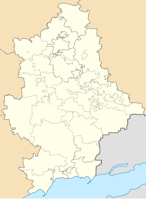
Andrijiwka ( Ukrainian Андріївка ; Russian Андреевка Andrejewka ) is a village in the west of the Ukrainian Donetsk Oblast with about 1,600 inhabitants (2001).
The village is named after the Cossack leader Andrij Solohub, as the village was founded in 1660 instead of his winter quarters.
Andrijiwka is the administrative center of the same District municipality in the northeast of Rayon velyka novosilka to the still villages Petropawliwka ( Петропавлівка , ⊙ ) with about 80 inhabitants, Shevchenko ( Шевченко , ⊙ ) with about 310 inhabitants and Slowjanka ( Слов'янка , ⊙ ) with about 50 inhabitants.
The village is located at an altitude of 123 m on the right bank of the Vovcha , a 323 km long tributary of the Samara , 29 km northeast of the district center Velyka Nowosilka and 72 km west of the Oblast center Donetsk .
Through the village runs the territorial road T-05-15 and 3 km south of Andrijiwka, on the opposite bank of the village Wowtscha Kostjantynopil ( Костянтинопіль ) running trunk road N 15 .
Individual evidence
- ↑ Local website on the official website of the Verkhovna Rada ; accessed on March 26, 2018 (Ukrainian)
- ^ Local history of Andriivka in the history of the cities and villages of the Ukrainian SSR ; accessed on March 26, 2018 (Ukrainian)

