Azov (Rosivka)
| Azov | ||
| Азов | ||

|
|
|
| Basic data | ||
|---|---|---|
| Oblast : | Zaporizhia Oblast | |
| Rajon : | Rosivka district | |
| Height : | 194 m | |
| Area : | 1.443 km² | |
| Residents : | 907 (2004) | |
| Population density : | 629 inhabitants per km² | |
| Postcodes : | 70330 | |
| Area code : | +380 6162 | |
| Geographic location : | 47 ° 27 ' N , 37 ° 7' E | |
| KOATUU : | 2324980201 | |
| Administrative structure : | 1 village, 2 settlements | |
| Address: | вул. Центральна 10 70330 с. Азов |
|
| Statistical information | ||
|
|
||
Azov ( Ukrainian and Russian Азов ) is a settlement in the east of the Ukrainian Oblast of Zaporizhia with about 900 inhabitants (2004).
Founded in 1823 by Black Sea German settlers with the name Tiegenhof as part of the planning colonies near Mariupol (also known as Colony No. 2), it is the administrative center of the district council of the same name in Rosiwka Rajon . The district municipality also includes the village Antoniwka ( Антонівка ⊙ ) with 260 inhabitants and the settlement Myrne ( Мирне ⊙ ) with about 20 inhabitants.
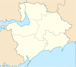
Azov is located in the Azov highlands near the border with Rajon velyka novosilka the Donetsk Oblast , 10 km north from Rajonzentrum Rosiwka kilometers southeast and 180 from Oblastzentrum Zaporizhia .
Individual evidence
- ^ Website of the village on the website of the Verkhovna Rada , accessed on June 17, 2017 (Ukrainian)

