Bømlafjord tunnel
| Bømlafjord tunnel | ||
|---|---|---|
|
Bømlafjord tunnel, Valevåg portal
|
||
| use | Road tunnel, 3 lanes | |
| traffic connection | Europastraße 39 ( Trekantsambandet ) | |
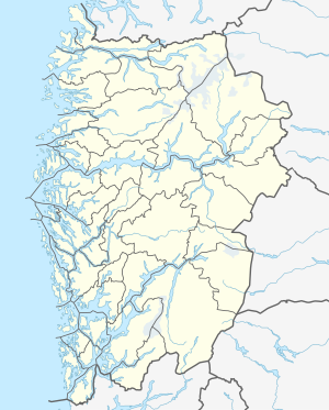
| place | Bømlafjord , Fylke Vestland ( Norway ) | |
| length | 7888 m | |
| Number of tubes | 1 | |
| construction | ||
| completion | April 30, 2000 | |
| business | ||
| toll | Yes | |
| location | ||
|
|
||
| Coordinates | ||
| North-west portal on the island of Føyno | 59 ° 44 ′ 24 " N , 5 ° 24 ′ 30" E | |
| South-east portal south of Valevåg | 59 ° 40 ′ 59 " N , 5 ° 28 ′ 57" E | |
The Bømlafjordtunnel ( Norwegian Bømlafjordtunnelen ) is an underwater tunnel under the Bømlafjord , which connects the mainland municipality Sveio with the island Føyno and from there over bridges the islands Stord and Bømlo in Fylke Vestland . It is part of the Trekantsambandet road connection ( German "triangle connection" ), which runs within the European route 39 .
With a length of 7,888 meters, the structure is Norway's longest underwater tunnel . The greatest ascent or the greatest downward gradient is 8.5%. The deepest point is 262.5 meters below the sea surface . This is the lowest point in the entire network of European roads and the third deepest in Norway after the Eiksund tunnel and the Hitratunnel .
The tunnel, which opened on April 30, 2000, replaces the Skjersholmane - Valevåg ferry route . An average of around 4,000 vehicles per day pass through the road tunnel .

