Bellingshausen (South Sandwich Islands)
| Bellingshausen | ||
|---|---|---|
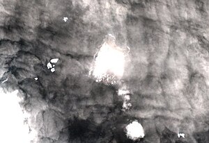
| NASA ASTER satellite image | ||
| Waters | South Atlantic | |
| Archipelago | South Sandwich Islands | |
| Geographical location | 59 ° 24 ′ 48 ″ S , 27 ° 4 ′ 55 ″ W | |
|
|
||
| surface | 2.04 km² | |
| Highest elevation |
Basilisk Peak 255 m |
|
| Residents | uninhabited | |
Bellingshausen is one of the three southernmost islands in the sub- Antarctic archipelago of the South Sandwich Islands . Together with Cook Island and Morrell Island , it forms the group of the Southern Thul Islands .
The small, uninhabited island with an area of only 2.04 km² is a stratovolcano ; the main crater measures about 150 meters in diameter and is 60 meters deep.
Bellingshausen is separated from Cook Island, two kilometers away in the west, by the Maurice Channel . To the northeast, Bristol Island is 47 km away, separated by the Forsters Passage .
The island is named after the Russian Antarctic navigator Fabian Gottlieb von Bellingshausen (1778-1852). It was probably discovered as early as 1775 by the British navigator James Cook , who discovered almost all of the South Sandwich Islands during this time.
See also
Web links
- Bellinghausen (sic!) Iceland ( Memento from December 23, 2010 in the Internet Archive ) in the island encyclopedia oceandots.com (English)
- Brief information (with stamp )

