Bilenke (Zaporizhia)
| Bilenke | ||
| Біленьке | ||

|
|
|
| Basic data | ||
|---|---|---|
| Oblast : | Zaporizhia Oblast | |
| Rajon : | Zaporizhia district | |
| Height : | 17 m | |
| Area : | 81.740 km² | |
| Residents : | 4,976 (2006) | |
| Population density : | 61 inhabitants per km² | |
| Postcodes : | 70441 | |
| Area code : | +380 612 | |
| Geographic location : | 47 ° 37 ' N , 35 ° 3' E | |
| KOATUU : | 2322180801 | |
| Administrative structure : | 2 villages | |
| Address: | вул. Леніна 4в 70441 с. Біленьке |
|
| Website : | Official website of the municipality | |
| Statistical information | ||
|
|
||
Bilenke ( Ukrainian Біленьке ; Russian Беленькое Belenkoje ) is a village in the northwest of the Ukrainian Oblast of Zaporizhia with about 5000 inhabitants (2014).
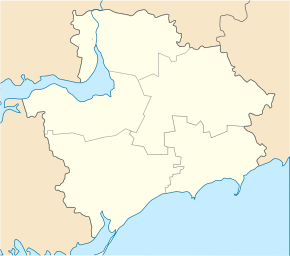
Bilenke is located in the Saporischschja district on the north bank of the Dnepr , which is dammed up to form the Kachowka reservoir . The Zaporizhia Oblast Center is 38 km northeast of Bilenke. Territorial road T – 08–06 leads to the village .
The village, first mentioned in writing in 1770, is the center of the district council of the same name, to which the village Chervonodniprowka ( Червонодніпровка ⊙ ) with about 30 inhabitants belongs 7 km downstream .
Web links
- Municipal Council website on rada.info (Ukrainian)
Individual evidence
- ^ Location on the official website of the Verkhovna Rada , accessed on December 21, 2014
- ^ Local history of Bilenke in the history of the cities and villages of the Ukrainian SSR ; accessed on April 26, 2020 (Ukrainian)

