
Buruntuma
| Buruntuma | |||
|---|---|---|---|
|
|||
| Coordinates | 12 ° 26 ′ N , 13 ° 39 ′ W | ||
| Basic data | |||
| Country | Guinea-Bissau | ||
| Leste | |||
| region | Gabu | ||
| ISO 3166-2 | GW-GA | ||
| Residents | 1159 (2009) | ||

Buruntuma is a town in eastern Guinea-Bissau with 1,159 inhabitants in three districts (as of 2009).
.jpg)
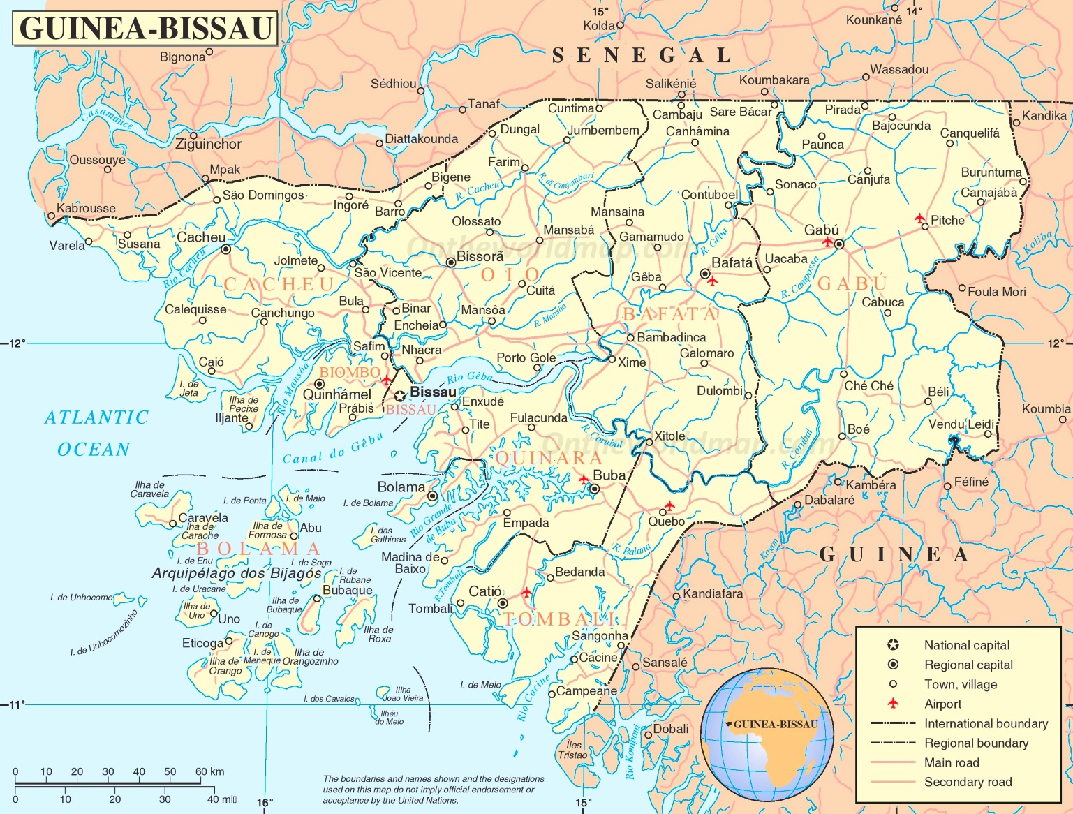
The place belongs to the administrative sector of Pitche .
Buruntuma is a border town from Guinea-Bissau to the much larger neighboring country Guinea-Conakry to the east and south .
From Buruntuma a road runs northwest to Canquelifá and a southwest to Pitche.
The Portuguese-guineabissauische Afro House - DJ and musician DJ Buruntuma has named after the town.
history
In the Portuguese colonial war , which lasted from 1963 to 1974 in Guinea-Bissau and was waged particularly intensively there, the remote area around Buruntuma was also the scene of reciprocal commandos and sieges.
In February 1970, the PAIGC independence movement launched a bloody attack on the small Portuguese garrison in Buruntuma. As a result, the camp was reinforced by new Portuguese forces (especially the PelCaçNat65 ), who also launched counter-attacks in the area.
Web links
Individual evidence
- ↑ Inhabitants by region, sector and town by gender, 2009 census (pp. 98f, port.), PDF retrieval from the INE National Statistics Office of January 6, 2018
- ↑ Road map of Guinea-Bissau on www.ontheworldmap.com, accessed on January 6, 2018
- ↑ Original sound from Portuguese DJ Buruntuma on WDR radio station COSMO , accessed on January 6, 2018
- ↑ Page DJ Buruntumas at SoundCloud , accessed on January 6, 2018