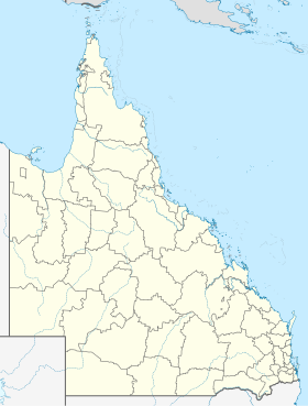
Caloundra
Caloundra ( /kəˈlæɔn.dɹə/ Sunshine Coast in Queensland , Australia . Caloundra had a population of around 80,500 in 2016 and is located about an hour north of Brisbane's City Business District (CBD) . It is approximately 45 minutes from Brisbane International Airport .
geography climate
Average Monthly Temperatures and Precipitation for Caloundra (1971–1992)
Jan
Feb
Mar
Apr
May
Jun
Jul
Aug
Sep
Oct
Nov
Dec
Max. Temperature ( ° C )
27.6
27.2
26.4
24.6
22.2
19.8
19.3
20.3
22.3
24.1
25.4
27.0
O
23.8
Min. Temperature (° C)
21.4
21.2
19.9
17.4
14.9
11.7
10.8
11.6
14.0
16.5
18.5
20.3
O
16.5
Precipitation ( mm )
176.7
207.6
184.5
183.5
183.2
98.6
115.8
55.7
42.6
99.2
141.0
136.1
Σ
1,624.5
Rainy days ( d )
14.5
17.0
15.8
14.3
14.9
9.5
9.1
8.0
7.3
10.0
12.0
11.3
Σ
143.7
T
Jan
Feb
Mar
Apr
May
Jun
Jul
Aug
Sep
Oct
Nov
Dec
N
176.7
207.6
184.5
183.5
183.2
98.6
115.8
55.7
42.6
99.2
141.0
136.1
Jan
Feb
Mar
Apr
May
Jun
Jul
Aug
Sep
Oct
Nov
Dec
Infrastructure
Street
The Caloundra Road acts as a feeder for the Bruce Highway (M1)Brisbane in the south and Maryborough or Hervey Bay in the north.
Suburbs Urban suburbs from south to north:
Non-urban suburbs (hinterland)
beaches
Beaches with little swell :
Golden Beach
Bulcock Beach
Shelly Beach
Moffat Beach
Beaches with heavy swell (suitable for surfing):
Happy Valley
Kings Beach
Shelly Beach
Moffat Beach
Dicky Beach
Others
In the Aboriginal dialect , Kalowendah (Caloundra) means place of the beech .
Bulcock Beach and Caloundra's main street, Bulcock Street, were both named after Brisbane politician Robert Bulcock . In 1875 Bulcock bought 277 ares in the region that now includes Caloundra.
Every year one of three Australian tennis challenger tournaments takes place in Caloundra.
In Caloundra the Caloundra Music Festival takes place annually in September or October.
Individual evidence
↑ a b Australian Bureau of Statistics : Caloundra English ) In: 2016 Census QuickStats . June 27, 2017. Retrieved April 13, 2020.
↑ http://investment.infrastructure.gov.au/projects/ProjectDetails.aspx?Project_id=048992-13QLD-NP
↑ caloundra music festival. accessed December 26, 2012 .
Web links
<img src="https://de.wikipedia.org//de.wikipedia.org/wiki/Special:CentralAutoLogin/start?type=1x1" alt="" title="" width="1" height="1" style="border: none; position: absolute;">

