Camooweal
| Camooweal | |||||||
|---|---|---|---|---|---|---|---|
 The first automobile that arrived in the town in 1911 |
|||||||
|
|||||||
|
|||||||
|
|||||||
|
|||||||
|
|
|||||||
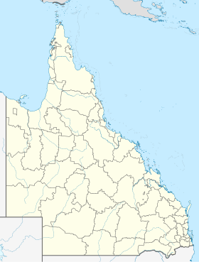
Camooweal is a place in northwest Queensland in Australia, which is located on the Barkly Highway not far from the border with the Northern Territory . It is about 188 kilometers from the city of Mount Isa and has about 160 inhabitants.
The explorer William Landsborough , after whom the Landsborough Highway is named, was the first European to come to the area around Camooweal around 1862 in search of the lost explorers William John Wills and Robert O'Hara Burke .
In the place, which was founded in 1884, there are opportunities for shopping, a motel, hotel and caravan site. The place can be used as a starting point for the Camooweal Caves National Park .
There are several historic objects in the Queensland List of Historic Monuments in and around the town: Community Hall , Freckleton's Stores , the Tree of Knowledge and Hodgkinson's Marked Tree .
The nationally known Australian country singer Slim Dusty , who sang the farewell song Waltzing Matilda on the occasion of the Olympic Games in Sydney in 2000, dedicated the song Camooweal to the place .
Web links
Individual evidence
- ↑ a b Australian Bureau of Statistics : Camooweal (L) ( English ) In: 2016 Census QuickStats . June 27, 2017. Retrieved April 13, 2020.
