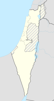
Chanita
| Chanita | ||
|---|---|---|

|
||
| Basic data | ||
| hebrew : | חניתה | |
| State : |
|
|
| District : | North | |
| Founded : | 1938 | |
| Coordinates : | 33 ° 5 ' N , 35 ° 10' E | |
| Height : | 342 m | |
| Residents : | 761 (as of 2018) | |
| Community code : | 0280 | |
| Time zone : | UTC + 2 | |
| Postal code : | 22885 | |
| Website : | ||
|
|
||
Chanita ( Hebrew חֲנִיתָה) is a kibbutz belonging to the Mateh Ascher regional association in the northern district of Israel . In 2018 there were 761 people living in the kibbutz. It is located on the site of the ancient city of Chanita, also Chanuta (חנותה), which was recorded in 1878 in the map of the Palestine Exploration Fund by CR Conder and Lord Kitchener as the ruins of Khurbet Hanuta . During the Arab uprising in Palestine, the kibbutz was built in 1938 as a " tower-and-palisade settlement ".
The following people lived in the village:
- Matti Caspi (מתי כספי), composer, musician and singer
- Eli'eser Ben Rafael (אליעזר בן־רפאל), sociologist and anthropologist
- Moshe Dayan (משה דיין), Israel's Foreign Minister
- Jigal Allon (יגאל אלון), Israel's Foreign Minister
Web links
Commons : Hanita - collection of pictures, videos and audio files
Individual evidence
- ↑ אוכלוסייה ביישובים 2018 (population of the settlements 2018). (XLSX; 0.13 MB) Israel Central Bureau of Statistics , August 25, 2019, accessed May 11, 2020 .
- ↑ אוכלוסייה ביישובים 2018 (population of the settlements 2018). (XLSX; 0.13 MB) Israel Central Bureau of Statistics , August 25, 2019, accessed May 11, 2020 .

