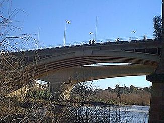
Cheliff
|
Cheliff Oued Chelif Oued Chlef |
||
| Data | ||
| location | Algeria , Africa | |
| source |
Head of the valley 33 ° 55 ′ 3 ″ N , 1 ° 45 ′ 5 ″ E |
|
| Source height | approx. 1380 m | |
| muzzle | north of Mostaganem in the Mediterranean Sea Coordinates: 36 ° 2 ′ 26 " N , 0 ° 7 ′ 58" E 36 ° 2 ′ 26 " N , 0 ° 7 ′ 58" E |
|
| Mouth height | 0 m | |
| Height difference | approx. 1380 m | |
| Bottom slope | approx. 2 ‰ | |
| length | approx. 700 km | |
| Communities | Mostaganem | |
The Cheliff ( Arabic وادي الشلف, Wadi ash-Shalif ) is the longest river in Algeria with a length of 700 kilometers .
course
The valley trail of Cheliff takes its origin on the north side of the Saharan Atlas , which the Sahara bordering part of the Atlas Mountains , in the valley oasis of municipality Brida in the province of Laghouat . The upper reaches crosses the Schotts highlands in a general north-north-easterly direction and is known under three different names in succession up to the Barrage Boughzoul reservoir , first as Oued Sebgag , then as Oued Touil and the third part as Oued Nahr Ouassel . The Cheliff then breaks through the east of the Ouarsenis mountain range and then turns to the west and measures the wide and water-rich valley basin between the Ouarsenis in the south and the coastal mountains of the Tell Atlas in the north. Finally, the Cheliff flows into the Mediterranean north of the city of Mostaganem . The water level is subject to strong fluctuations, which are sometimes caused by irrigation measures in the lower course of the river.
